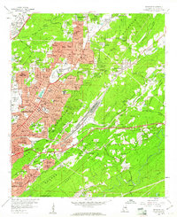
1959 Map of Irondale
USGS Topo · Published 1960About this map
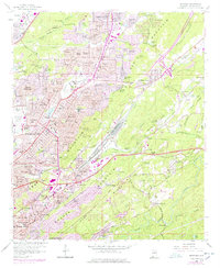
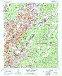
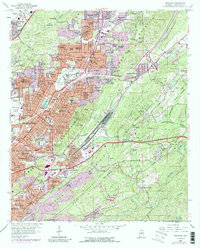
The ridge-and-valley topography of Jefferson County is prominently displayed as the post-war suburbs of Birmingham push into the surrounding highlands. This era captures the dense suburbanization of Roebuck, Huffman, and Center Point while significant industrial and transportation corridors remain active in the valleys. The Birmingham Municipal Airport and the adjacent Air National Guard facility occupy the flatlands of Opossum Valley, while the Southern Railway and Seaboard Air Line Railroad traverse the gaps between Red Mountain and Shades Mountain. Genealogists will find numerous local landmarks, including the St Thomas Home on the Hill Sch and several historic burial grounds such as East Lake Cemetery and Bush Cemetery. The landscape is a mix of developing residential tracts like Berkley Hills and Cloverdale alongside natural features like Fivemile Creek and the Cahaba River on the southeastern edge of the survey.
Find a feature on this map
140 named features on this map. Tap any name to fly to it.
Don’t see what you’re looking for? This feature index may not catch every label — zoom into the map to look around manually.
Map Details
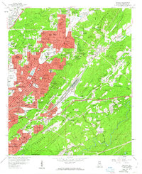
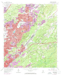
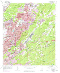
Editions of this 1959 Irondale Map
7 editions found
Other maps of this area

1889 · Birmingham
USGS Topo · 1:125,000

1890 · Bessemer
USGS Topo · 1:125,000

1892 · Birmingham
USGS Topo · 1:125,000

1892 · Bessemer
USGS Topo · 1:125,000

1895 · Birmingham
USGS Topo · 1:125,000

1904 · Birmingham Coal District
USGS Topo · 1:62,500

1905 · Bessemer Iron District
USGS Topo · 1:62,500

1905 · Leeds
USGS Topo · 1:62,500

1906 · Birmingham Special
USGS Topo · 1:62,500

1906 · Vandiver
USGS Topo · 1:62,500