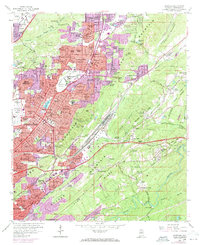
1959 Map of Irondale
USGS Topo · Published 1971About this map
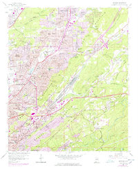
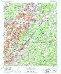
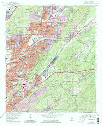
Birmingham Municipal Airport and the surrounding Birmingham city boundary show a mid-century period of significant residential and industrial growth. The landscape is structured by the parallel ridges of Red Mountain and Shades Mountain, with Shades Valley tucked between them. This topographic arrangement forced urban development into specific corridors, such as the concentrated settlements at Tarrant City, Huffman, and Irondale. The map reveals a transition from heavy industrial land use—evidenced by various quarries, gravel pits, and a strip mine near Pilot Knob—to expanding suburban residential areas like Roebuck Crest Estates and Spring Lake Estates. Transportation networks are dominated by major rail lines including the Southern Railway and the Seaboard Coast Line Railroad, which historically served the region's mining and manufacturing sectors.
Find a feature on this map
153 named features on this map. Tap any name to fly to it.
Don’t see what you’re looking for? This feature index may not catch every label — zoom into the map to look around manually.
Map Details
Editions of this 1959 Irondale Map
7 editions found
Other maps of this area

1889 · Birmingham
USGS Topo · 1:125,000

1890 · Bessemer
USGS Topo · 1:125,000

1892 · Birmingham
USGS Topo · 1:125,000

1892 · Bessemer
USGS Topo · 1:125,000

1895 · Birmingham
USGS Topo · 1:125,000

1904 · Birmingham Coal District
USGS Topo · 1:62,500

1905 · Bessemer Iron District
USGS Topo · 1:62,500

1905 · Leeds
USGS Topo · 1:62,500

1906 · Birmingham Special
USGS Topo · 1:62,500

1906 · Vandiver
USGS Topo · 1:62,500