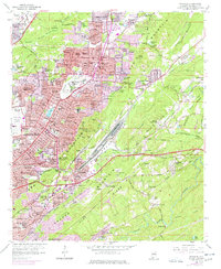
1959 Map of Irondale
USGS Topo · Published 1977About this map
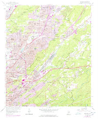
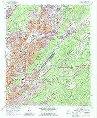
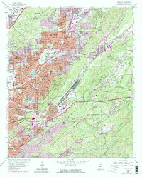
Ruffner Mountain and the ridge lines of Red Mountain anchor this late 1950s survey of eastern Birmingham and its industrial outskirts. The landscape is defined by the heavy infrastructure of mid-century Alabama, where the Southern Railway and Seaboard Coast Line corridors weave through established neighborhoods like Wahouma, East Lake, and Gate City. The industrial and social character of the era is evident in the presence of Payne College, the Alabama Industrial Sch for Boys, and the sprawling Birmingham Municipal Airport. To the northeast, the development of Huffman and Roebuck Gardens shows the expansion of the city into the surrounding valleys. Beyond the dense residential grid, several active quarries and strip mines near Pinchgut Creek indicate the ongoing extraction economy that fueled the region's growth.
Find a feature on this map
141 named features on this map. Tap any name to fly to it.
Don’t see what you’re looking for? This feature index may not catch every label — zoom into the map to look around manually.
Map Details
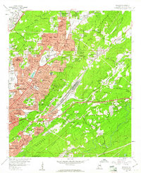
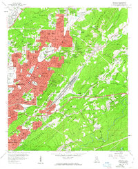
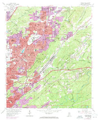
Editions of this 1959 Irondale Map
7 editions found
Other maps of this area

1889 · Birmingham
USGS Topo · 1:125,000

1890 · Bessemer
USGS Topo · 1:125,000

1892 · Birmingham
USGS Topo · 1:125,000

1892 · Bessemer
USGS Topo · 1:125,000

1895 · Birmingham
USGS Topo · 1:125,000

1904 · Birmingham Coal District
USGS Topo · 1:62,500

1905 · Bessemer Iron District
USGS Topo · 1:62,500

1905 · Leeds
USGS Topo · 1:62,500

1906 · Birmingham Special
USGS Topo · 1:62,500

1906 · Vandiver
USGS Topo · 1:62,500