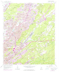
1959 Map of Irondale
USGS Topo · Published 1978About this map
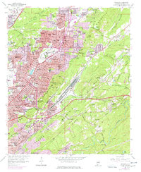
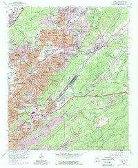
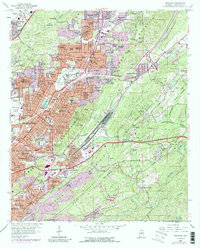
Ernest Norris Yards anchor the central valley of this map, illustrating the heavy industrial and logistical footprint of the railroad in mid-century Alabama. The landscape is defined by the parallel ridges of Red Mountain and Shades Mountain, which constrained urban expansion into distinct corridors like Shades Valley. This 1959 survey, updated in the late 1970s, captures Birmingham's eastward growth through residential developments such as Roebuck Springs and Biscayne Highlands.
Find a feature on this map
132 named features on this map. Tap any name to fly to it.
Don’t see what you’re looking for? This feature index may not catch every label — zoom into the map to look around manually.
Map Details
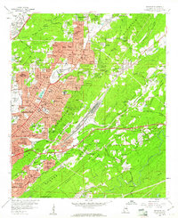
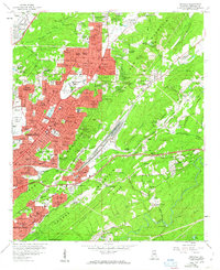
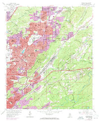
Editions of this 1959 Irondale Map
7 editions found
Other maps of this area

1889 · Birmingham
USGS Topo · 1:125,000

1890 · Bessemer
USGS Topo · 1:125,000

1892 · Birmingham
USGS Topo · 1:125,000

1892 · Bessemer
USGS Topo · 1:125,000

1895 · Birmingham
USGS Topo · 1:125,000

1904 · Birmingham Coal District
USGS Topo · 1:62,500

1905 · Bessemer Iron District
USGS Topo · 1:62,500

1905 · Leeds
USGS Topo · 1:62,500

1906 · Birmingham Special
USGS Topo · 1:62,500

1906 · Vandiver
USGS Topo · 1:62,500