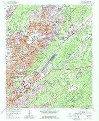
1959 Map of Irondale
USGS Topo · Published 1989About this map
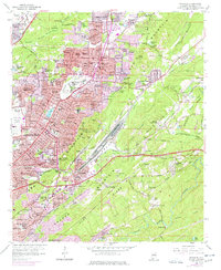
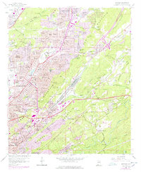
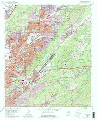
Red Mountain and Shades Mountain anchor this landscape, where the ridges of the Appalachians meet the industrial expansion of the mid-20th century. The area is defined by a dense concentration of civic and religious institutions, from the Alabama Industrial Sch for Boys to the St Barnabas Sch and Ch. The industrial history of the region is etched into the terrain at the Ruffner Mines and the Gate City Quarry, reflecting the extraction economy that fueled nearby Birmingham. Residential growth is evident in established neighborhoods like Huffman and Roebuck Springs, which are woven between a complex network of railroads including the Southern Railway and the Central of Georgia Railroad. As the city grew, developments like Roebuck Crest Estates and Spring Lake Estates began to fill the valleys, while the Birmingham Municipal Airport and Air National Guard facilities marked the western edge of the quadrangle.
Find a feature on this map
156 named features on this map. Tap any name to fly to it.
Don’t see what you’re looking for? This feature index may not catch every label — zoom into the map to look around manually.
Map Details
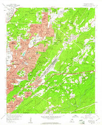
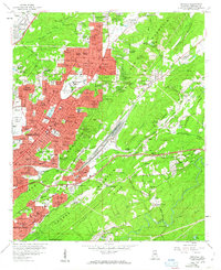
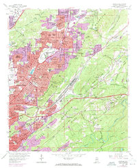
Editions of this 1959 Irondale Map
7 editions found
Other maps of this area

1889 · Birmingham
USGS Topo · 1:125,000

1890 · Bessemer
USGS Topo · 1:125,000

1892 · Birmingham
USGS Topo · 1:125,000

1892 · Bessemer
USGS Topo · 1:125,000

1895 · Birmingham
USGS Topo · 1:125,000

1904 · Birmingham Coal District
USGS Topo · 1:62,500

1905 · Bessemer Iron District
USGS Topo · 1:62,500

1905 · Leeds
USGS Topo · 1:62,500

1906 · Birmingham Special
USGS Topo · 1:62,500

1906 · Vandiver
USGS Topo · 1:62,500