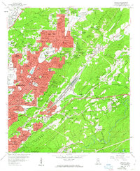
1959 Map of Irondale
USGS Topo · Published 1963About this map
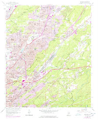
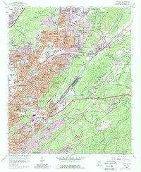
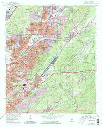
Red Mountain and Shades Mountain define the topography of this eastern Jefferson County landscape as urban expansion from Birmingham pushes into the valleys. The map documents a mid-century period of rapid suburbanization, where residential developments like Roebuck Gardens and Huffman are seen rising alongside institutional landmarks such as the Alabama Industrial Sch for Boys and the Hillcrest Sanitarium. The industrial and transport legacy of the region is clear, with the Birmingham Municipal Airport and the Air National Guard facility occupying the flat lands of Opossum Valley, while a dense network of rail lines including the Southern Railway and Central of Georgia Railroad navigate the narrow gaps. Significant community spaces are visible, from the Roebuck Municipal Golf Course to local education hubs like Banks High Sch and Wahouma Sch.
Find a feature on this map
152 named features on this map. Tap any name to fly to it.
Don’t see what you’re looking for? This feature index may not catch every label — zoom into the map to look around manually.
Map Details
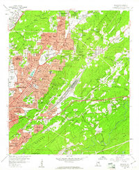
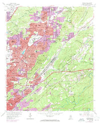
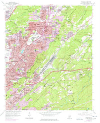
Editions of this 1959 Irondale Map
7 editions found
Other maps of this area

1889 · Birmingham
USGS Topo · 1:125,000

1890 · Bessemer
USGS Topo · 1:125,000

1892 · Birmingham
USGS Topo · 1:125,000

1892 · Bessemer
USGS Topo · 1:125,000

1895 · Birmingham
USGS Topo · 1:125,000

1904 · Birmingham Coal District
USGS Topo · 1:62,500

1905 · Bessemer Iron District
USGS Topo · 1:62,500

1905 · Leeds
USGS Topo · 1:62,500

1906 · Birmingham Special
USGS Topo · 1:62,500

1906 · Vandiver
USGS Topo · 1:62,500