
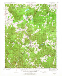
1945 Map of Ironton
USGS Topo · Published 1955About this map
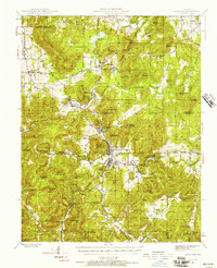
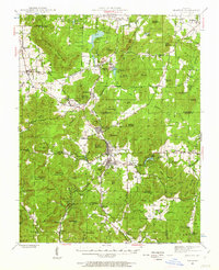
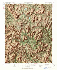
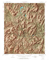
Taum Sauk Mountain towers over this mid-century Missouri landscape, where the iron-rich geology shaped the development of the Arcadia Valley. The corridor connecting Pilot Knob, Ironton, and Arcadia forms the cultural heart of the area, supported by the Missouri Pacific railroad. To the north, the industrial footprint of Iron Mountain is evident, including its namesake mine and Iron Mountain Lake.
Find a feature on this map
101 named features on this map. Tap any name to fly to it.
Don’t see what you’re looking for? This feature index may not catch every label — zoom into the map to look around manually.
Map Details
Editions of this 1945 Ironton Map
6 editions found
Other maps of this area

1904 · Farmington
USGS Topo · 1:62,500

1905 · Bonneterre
USGS Topo · 1:62,500

1906 · Potosi
USGS Topo · 1:62,500

1906 · Farmington
USGS Topo · 1:62,500

1924 · Edgehill
USGS Topo · 1:62,500

1926 · Edgehill
USGS Topo · 1:62,500

1926 · Des Arc
USGS Topo · 1:62,500

1929 · Des Arc
USGS Topo · 1:62,500

1930 · Coldwater
USGS Topo · 1:62,500

1937 · Ironton
USGS Topo · 1:48,000