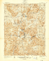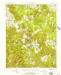
1945 Map of Ironton
USGS Topo · Published 1957About this map
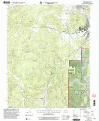
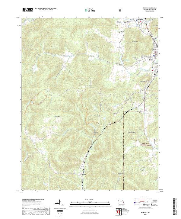
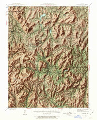
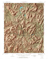
Taum Sauk Mountain and the surrounding peaks of the St. Francois range dominate this mid-century survey, revealing a landscape defined by its unique geology and early industrial history. The Missouri Pacific railroad winds through the valley, connecting the established communities of Ironton, Arcadia, and Pilot Knob. This area shows the intersection of mineral extraction and local institution, with the Ozark Ore Co Lake and Iron Mountain mines appearing alongside the County Farm and Arcadia Bible Camp. Landmarks such as the Buck Mountain Fire Tower and the geological formation at Devils Toll Gate highlight the varied uses of the terrain. For the local historian, the map preserves the locations of numerous rural institutions, including the Flatwoods Sch, Rebel Cem, and Stony Ch, which anchored the smaller settlements like Doe Run and Belleview before post-war consolidation.
Find a feature on this map
101 named features on this map. Tap any name to fly to it.
Don’t see what you’re looking for? This feature index may not catch every label — zoom into the map to look around manually.
Map Details
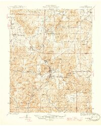
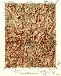
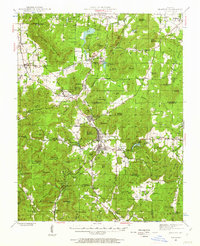
Editions of this 1945 Ironton Map
6 editions found
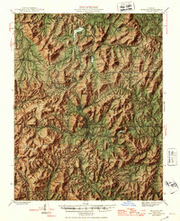
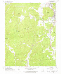
Historical Maps of Ironton Through Time
10 maps found