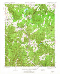
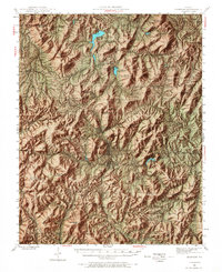
1945 Map of Ironton
USGS Topo · Published 1968About this map
Taum Sauk Mountain and the surrounding peaks of the St. Francois Mountains dominate this mid-century landscape, framing the narrow valleys of the Missouri Pacific railroad corridor. The area is anchored by the historic mining and settlement hub at Ironton, Arcadia, and Pilot Knob, where the local economy centered on the extraction of ore from landmarks like Iron Mountain and the transport of timber and minerals. The industrial and cultural history of the region is etched into the terrain through features such as the U S Rifle Range, the Arcadia Bible Camp, and several rural schools like College Hill and Hogan Sch. Family and community ties are preserved in numerous burial grounds, including the German Cem, the Schwab Cem, and the pointedly named Rebel Cem near Barren Hollow. Distinctive natural landmarks like Devils Toll Gate and Royal Gorge highlight the geological complexity of this ancient volcanic highland.
Find a feature on this map
97 named features on this map. Tap any name to fly to it.
Don’t see what you’re looking for? This feature index may not catch every label — zoom into the map to look around manually.
Map Details
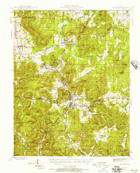
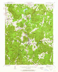
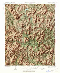
Editions of this 1945 Ironton Map
6 editions found

Other maps of this area

1904 · Farmington
USGS Topo · 1:62,500

1905 · Bonneterre
USGS Topo · 1:62,500

1906 · Potosi
USGS Topo · 1:62,500

1906 · Farmington
USGS Topo · 1:62,500

1924 · Edgehill
USGS Topo · 1:62,500

1926 · Edgehill
USGS Topo · 1:62,500

1926 · Des Arc
USGS Topo · 1:62,500

1929 · Des Arc
USGS Topo · 1:62,500

1930 · Coldwater
USGS Topo · 1:62,500

1937 · Ironton
USGS Topo · 1:48,000