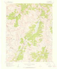
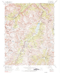
1955 Map of Ironton
USGS Topo · Published 1957About this map
Mining operations and high-altitude settlements dominate this mid-century survey of the San Juan Mountains. The industrial footprint is evident at the Camp Bird No 14 Level and the nearby Camp Bird Tailings Pond, reflecting decades of extraction along the Canyon Creek drainage. Key transit routes including the Million Dollar Highway and the Weehawken Pack Trail navigate the steep grades between the Uncompahgre River and the high peaks of Potosi Peak and Red Mountain. Small communities like Ironton, Guston, and Sneffels serve as anchors for a landscape dotted with numerous workings, including the National Bell Mine and Black Bear Mine. An interesting administrative note in the margin mentions that land lines were omitted due to alleged fraud in original surveys, highlighting the complex history of property claims in this resource-rich corridor.
Find a feature on this map
138 named features on this map. Tap any name to fly to it.
Don’t see what you’re looking for? This feature index may not catch every label — zoom into the map to look around manually.
Map Details
Editions of this 1955 Ironton Map
5 editions found
Other maps of this area

1897 · Telluride
USGS Topo · 1:62,500

1897 · Silverton
USGS Topo · 1:62,500

1901 · Silverton
USGS Topo · 1:62,500

1902 · Silverton
USGS Topo · 1:62,500

1902 · Ouray
USGS Topo · 1:62,500

1904 · Ouray
USGS Topo · 1:62,500

1904 · Telluride
USGS Topo · 1:62,500

1909 · Montrose
USGS Topo · 1:125,000

1911 · Montrose
USGS Topo · 1:125,000

1945 · Durango
USGS Topo · 1:250,000