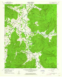
1960 Map of Irving College
USGS Topo · Published 1962About this map
Collins River carves a winding path through the heart of this landscape, separating the high elevations of Harrison Ferry Mountain from the scattered valley settlements. The community of Irving College serves as a central point, surrounded by a network of rural congregations such as St Marys Ch, Hebron Ch, and Shiloh Ch. This 1960 field-checked survey highlights the significance of the river and its tributaries, including Hills Creek and Dry Creek, in shaping local habitation and agriculture.
Find a feature on this map
45 named features on this map. Tap any name to fly to it.
Don’t see what you’re looking for? This feature index may not catch every label — zoom into the map to look around manually.
Map Details
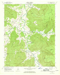
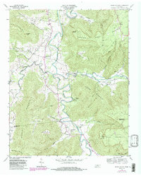
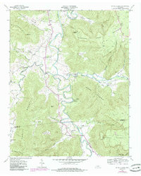
Editions of this 1960 Irving College Map
4 editions found
Other maps of this area

1893 · Mc Minnville
USGS Topo · 1:125,000

1895 · Mc Minnville
USGS Topo · 1:125,000

1895 · Sewanee
USGS Topo · 1:125,000

1936 · Cane Hollow
USGS Topo · 1:24,000

1943 · Mc Minnville
USGS Topo · 1:100,000

1953 · Chattanooga
USGS Topo · 1:250,000

1953 · Mc Minnville
USGS Topo · 1:24,000
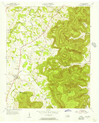
1955 · Viola
USGS Topo · 1:24,000
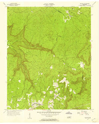
1956 · Collins
USGS Topo · 1:24,000
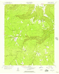
1956 · Altamont
USGS Topo · 1:24,000