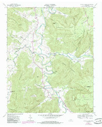
1960 Map of Irving College
USGS Topo · Published 1986About this map
Collins River winds through this section of the Cumberland Plateau, defining a landscape where steep ridges and deep coves dictated the patterns of settlement. The community of Irving College sits near the river's bend, serving as a central point for a network of country churches including St Marys Ch and Shiloh Ch. The terrain is marked by significant elevation changes, from the heights of Harrison Ferry Mountain and Ben Lomond Mtn down into fertile pockets like Myers Cove and Hughes Cove. Economic activity of the era is evidenced by the Badger Mine on the eastern slopes and a Gravel Pit to the north. Local history is deeply etched into the names of the land, from the Mt Zion Cem to numerous family-named hollows and peaks like Stepp Knob and Martins Point, illustrating the long-standing geographic roots of families in the Warren and Grundy county borderlands.
Find a feature on this map
50 named features on this map. Tap any name to fly to it.
Don’t see what you’re looking for? This feature index may not catch every label — zoom into the map to look around manually.
Map Details
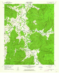
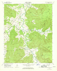
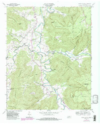
Editions of this 1960 Irving College Map
4 editions found
Other maps of this area

1893 · Mc Minnville
USGS Topo · 1:125,000

1895 · Mc Minnville
USGS Topo · 1:125,000

1895 · Sewanee
USGS Topo · 1:125,000

1936 · Cane Hollow
USGS Topo · 1:24,000

1943 · Mc Minnville
USGS Topo · 1:100,000

1953 · Chattanooga
USGS Topo · 1:250,000

1953 · Mc Minnville
USGS Topo · 1:24,000
1955 · Viola
USGS Topo · 1:24,000
1956 · Collins
USGS Topo · 1:24,000
1956 · Altamont
USGS Topo · 1:24,000