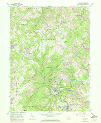
1959 Map of Irvona
USGS Topo · Published 1972About this map
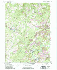
Chest Creek snakes through the southern portion of this Clearfield County landscape, anchoring a cluster of settlements including Irvona, Coalport, and Blain City. The 1959 topography reveals a region defined by its industrial and social infrastructure, where the Penn Central railroad follows the creek's curve through narrow valleys. High ground is marked by several family and parish landmarks such as Fruit Hill Ch and Zion Cem, while the northern reaches show the footprint of resource extraction with numerous unnamed strip mines surrounding Ansonville and Carnwath. A legacy of earlier transportation is visible in the Old Railroad Grade near Gazzam, reflecting the area's shifting rail network. The southern border is largely dedicated to State Game Lands No 120, providing a stark contrast to the worked landscapes of Diehltown and Rosebud to the north.
Find a feature on this map
60 named features on this map. Tap any name to fly to it.
Don’t see what you’re looking for? This feature index may not catch every label — zoom into the map to look around manually.
Map Details
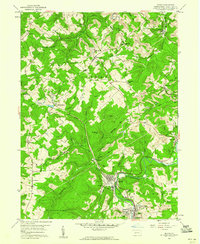
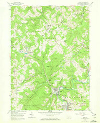
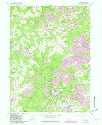
Editions of this 1959 Irvona Map
5 editions found
Other maps of this area

1902 · Patton
USGS Topo · 1:62,500

1903 · Curwensville
USGS Topo · 1:62,500

1903 · Houtzdale
USGS Topo · 1:62,500

1904 · Patton
USGS Topo · 1:62,500

1905 · Houtzdale
USGS Topo · 1:62,500

1920 · Altoona
USGS Topo · 1:62,500

1922 · Altoona
USGS Topo · 1:62,500

1939 · Curwensville
USGS Topo · 1:62,500

1942 · Curwensville
USGS Topo · 1:62,500

1943 · Punxsutawney
USGS Topo · 1:125,000