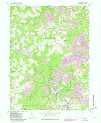
1959 Map of Irvona
USGS Topo · Published 1982About this map
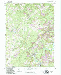
Clearfield Creek winds through the southern reaches of this Clearfield County survey, where the neighboring boroughs of Irvona and Coalport anchor a landscape defined by industry and community. The 1950s terrain is heavily marked by extensive extraction operations, with numerous strip mines dotting the ridges between the deep valleys of Witmer Run and Potts Run. This era shows a transition in local transportation, where the modern Conrail lines operate alongside an old railroad grade that once served the northern settlements of Gazzam and Ansonville. Genealogists will find a wealth of local landmarks, including several denominational burial grounds such as St Michaels Cem, St Basil Cem, and St Pauls Cem. Large tracts of the southwestern quadrant are preserved as State Game Lands No 120, contrasting the intensive mining activity seen near Glen Hope and Carnwath.
Find a feature on this map
68 named features on this map. Tap any name to fly to it.
Don’t see what you’re looking for? This feature index may not catch every label — zoom into the map to look around manually.
Map Details
Editions of this 1959 Irvona Map
5 editions found
Other maps of this area

1902 · Patton
USGS Topo · 1:62,500

1903 · Curwensville
USGS Topo · 1:62,500

1903 · Houtzdale
USGS Topo · 1:62,500

1904 · Patton
USGS Topo · 1:62,500

1905 · Houtzdale
USGS Topo · 1:62,500

1920 · Altoona
USGS Topo · 1:62,500

1922 · Altoona
USGS Topo · 1:62,500

1939 · Curwensville
USGS Topo · 1:62,500

1942 · Curwensville
USGS Topo · 1:62,500

1943 · Punxsutawney
USGS Topo · 1:125,000