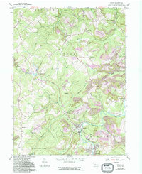
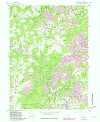
1959 Map of Irvona
USGS Topo · Published 1994About this map
Clearfield Creek winds through a landscape defined by the legacies of the coal industry and rural settlement in this mid-century survey of southern Clearfield County. The borough of Irvona sits at the heart of the region, flanked by Blain City and Coalport, where the density of St Michaels Cem, St Basil Cem, and the Jr High Sch points to a well-established community fabric.
Find a feature on this map
66 named features on this map. Tap any name to fly to it.
Don’t see what you’re looking for? This feature index may not catch every label — zoom into the map to look around manually.
Map Details
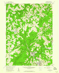
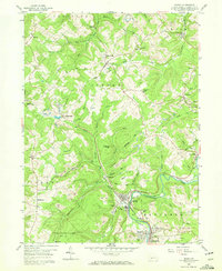
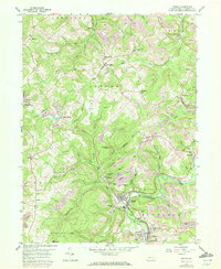
Editions of this 1959 Irvona Map
5 editions found
Other maps of this area

1902 · Patton
USGS Topo · 1:62,500

1903 · Curwensville
USGS Topo · 1:62,500

1903 · Houtzdale
USGS Topo · 1:62,500

1904 · Patton
USGS Topo · 1:62,500

1905 · Houtzdale
USGS Topo · 1:62,500

1920 · Altoona
USGS Topo · 1:62,500

1922 · Altoona
USGS Topo · 1:62,500

1939 · Curwensville
USGS Topo · 1:62,500

1942 · Curwensville
USGS Topo · 1:62,500

1943 · Punxsutawney
USGS Topo · 1:125,000