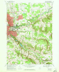
1969 Map of Ithaca East
USGS Topo · Published 1972About this map
Cornell University anchors the central landscape of this 1969 survey, surrounded by the growing residential and academic districts of East Ithaca and Cayuga Heights. The map reveals a complex infrastructure supporting the region, including the Lehigh Valley railroad line winding through the Fall Creek valley and the extensive grounds of Ithaca College on the slopes of South Hill.
Find a feature on this map
72 named features on this map. Tap any name to fly to it.
Don’t see what you’re looking for? This feature index may not catch every label — zoom into the map to look around manually.
Map Details
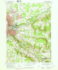
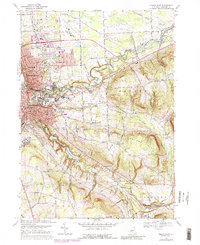
Editions of this 1969 Ithaca East Map
3 editions found
Other maps of this area

1893 · Ithaca
USGS Topo · 1:62,500

1895 · Ithaca
USGS Topo · 1:62,500

1898 · Moravia
USGS Topo · 1:62,500

1900 · Dryden
USGS Topo · 1:62,500

1902 · Moravia
USGS Topo · 1:62,500

1902 · Genoa
USGS Topo · 1:62,500

1905 · Watkins Glen
USGS Topo · 1:125,000

1906 · Catatonk
USGS Topo · 1:125,000

1942 · Ludlowville
USGS Topo · 1:24,000

1942 · Groton
USGS Topo · 1:24,000