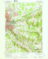
1969 Map of Ithaca East
USGS Topo · Published 1979About this map
Cornell University anchors the central landscape of this Tompkins County study, showcasing the academic and residential expansion that reshaped the hills east of Ithaca during the mid-20th century. The map illustrates a period of significant growth as suburban developments in Cayuga Heights and Lansing contrast with the steep, wooded ravines of Cascadilla Creek and Sixmile Creek. To the east, the rural character remains evident in the scattered settlements of Varna, Etna, and Besemer, where small local cemeteries like Roe Cem and Quick Cem preserve a record of earlier homesteads. The infrastructure of the era is represented by the Lehigh Valley RR corridor and the Tompkins County Airport, providing a clear view of the transportation network connecting these Finger Lakes communities before later modernizations altered the historic road patterns like Coddington Road and Ellis Hollow Road.
Find a feature on this map
56 named features on this map. Tap any name to fly to it.
Don’t see what you’re looking for? This feature index may not catch every label — zoom into the map to look around manually.
Map Details
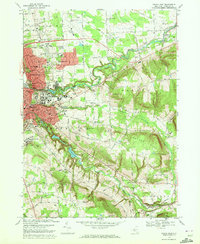
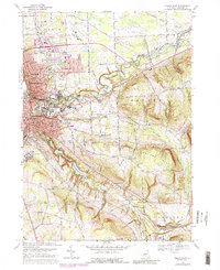
Editions of this 1969 Ithaca East Map
3 editions found
Other maps of this area

1893 · Ithaca
USGS Topo · 1:62,500

1895 · Ithaca
USGS Topo · 1:62,500

1898 · Moravia
USGS Topo · 1:62,500

1900 · Dryden
USGS Topo · 1:62,500

1902 · Moravia
USGS Topo · 1:62,500

1902 · Genoa
USGS Topo · 1:62,500

1905 · Watkins Glen
USGS Topo · 1:125,000

1906 · Catatonk
USGS Topo · 1:125,000

1942 · Ludlowville
USGS Topo · 1:24,000

1942 · Groton
USGS Topo · 1:24,000