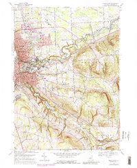
1969 Map of Ithaca East
USGS Topo · Published 1988About this map
Cornell University and Ithaca College anchor the academic landscape of this central New York region during the late 1960s. The map illustrates the transition from the dense urban core of Ithaca and East Ithaca to the surrounding hills and valleys, showing the suburban expansion of Cayuga Heights and Lansing. Infrastructure of the era is prominently displayed, from the Lehigh Valley RR corridor to the Tompkins County Airport and the Ithaca Reservoir along Sixmile Creek.
Find a feature on this map
65 named features on this map. Tap any name to fly to it.
Don’t see what you’re looking for? This feature index may not catch every label — zoom into the map to look around manually.
Map Details
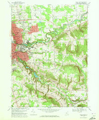
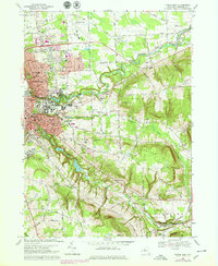
Editions of this 1969 Ithaca East Map
3 editions found
Other maps of this area

1893 · Ithaca
USGS Topo · 1:62,500

1895 · Ithaca
USGS Topo · 1:62,500

1898 · Moravia
USGS Topo · 1:62,500

1900 · Dryden
USGS Topo · 1:62,500

1902 · Moravia
USGS Topo · 1:62,500

1902 · Genoa
USGS Topo · 1:62,500

1905 · Watkins Glen
USGS Topo · 1:125,000

1906 · Catatonk
USGS Topo · 1:125,000

1942 · Ludlowville
USGS Topo · 1:24,000

1942 · Groton
USGS Topo · 1:24,000