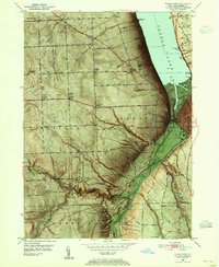
1949 Map of Ithaca West
USGS Topo · Published 1952About this map
Cayuga Lake defines the eastern edge of this 1949 topographic survey, where the city of Ithaca is squeezed between the water and the steep rises of the southern Tier. The landscape is characterized by its dramatic gorges and glens, notably the Robert H Treman State Park and Buttermilk Falls State Park, where the Robert H Treman Creek and Buttermilk Falls cut through the terrain. The map records a mix of institutional and civic development, featuring the Biggs Memorial Hospital, the I O O F Orphanage, and two airfields—Sun Downs Airport and the Ithaca Municipal Airport. This period shows the region's transport network at a peak, with the Lehigh Valley and Delaware Lackawanna and Western railroads skirting the marshy Cayuga Inlet. Inland, the plateau is marked by older agricultural hamlets like Quaker Settlement and Applegate Corner.
Find a feature on this map
75 named features on this map. Tap any name to fly to it.
Don’t see what you’re looking for? This feature index may not catch every label — zoom into the map to look around manually.
Map Details
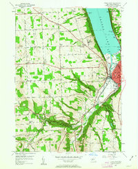
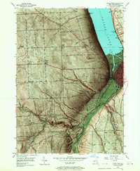
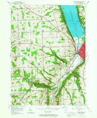
Editions of this 1949 Ithaca West Map
5 editions found

Other maps of this area

1893 · Ithaca
USGS Topo · 1:62,500

1895 · Ithaca
USGS Topo · 1:62,500

1898 · Moravia
USGS Topo · 1:62,500

1900 · Dryden
USGS Topo · 1:62,500

1902 · Moravia
USGS Topo · 1:62,500

1902 · Genoa
USGS Topo · 1:62,500

1905 · Watkins Glen
USGS Topo · 1:125,000

1906 · Catatonk
USGS Topo · 1:125,000

1942 · Ludlowville
USGS Topo · 1:24,000

1942 · Trumansburg
USGS Topo · 1:24,000