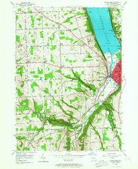
1949 Map of Ithaca West
USGS Topo · Published 1967About this map
Cayuga Lake dominates the eastern edge of this post-war landscape, where the southern shoreline transitions into the developed streets of Ithaca. The map reveals a region defined by steep glaciated terrain and its recreational and institutional response, including Robert H Treman State Park featuring Lucifer Falls, and the lakeside Stewart Park. Significant civic footprints are visible, from the Biggs Memorial Hospital complex to the Ithaca Municipal Airport near the U S Naval Res. Local genealogy is grounded in small hubs like Quaker Settlement and the various corners that name the crossroads of Ulysses and Enfield. The presence of the Lehigh Valley railroad and family-named cemeteries like Inlet Valley Cem provides a detailed view of the mid-century infrastructure and community heritage of Tompkins County.
Find a feature on this map
75 named features on this map. Tap any name to fly to it.
Don’t see what you’re looking for? This feature index may not catch every label — zoom into the map to look around manually.
Map Details
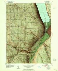
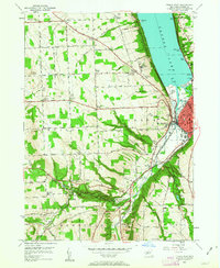
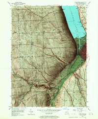
Editions of this 1949 Ithaca West Map
5 editions found

Other maps of this area

1893 · Ithaca
USGS Topo · 1:62,500

1895 · Ithaca
USGS Topo · 1:62,500

1898 · Moravia
USGS Topo · 1:62,500

1900 · Dryden
USGS Topo · 1:62,500

1902 · Moravia
USGS Topo · 1:62,500

1902 · Genoa
USGS Topo · 1:62,500

1905 · Watkins Glen
USGS Topo · 1:125,000

1906 · Catatonk
USGS Topo · 1:125,000

1942 · Ludlowville
USGS Topo · 1:24,000

1942 · Trumansburg
USGS Topo · 1:24,000