
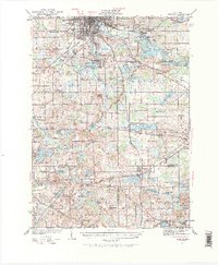
1935 Map of Jackson
USGS Topo · Published 1935About this map
Jackson serves as the industrial and transit hub of this south-central Michigan landscape during the 1930s, where the Michigan Central and New York Central railroads converge. The map documents an intricate network of small rural schools that once anchored the surrounding townships, including Herrington Sch, Turkey Hall Sch, and the Infant Sch. This distribution of educational sites alongside the Michigan Meridian reflects the systematic settlement of Jackson, Hillsdale, and Lenawee counties.
Find a feature on this map
67 named features on this map. Tap any name to fly to it.
Don’t see what you’re looking for? This feature index may not catch every label — zoom into the map to look around manually.
Map Details
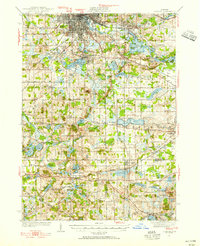
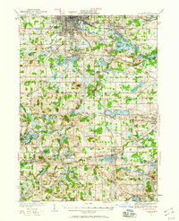
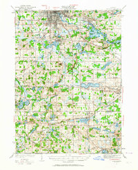
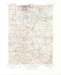
Editions of this 1935 Jackson Map
6 editions found
Other maps of this area

1919 · Stockbridge
USGS Topo · 1:62,500

1919 · Springport
USGS Topo · 1:62,500

1919 · Rives Junction
USGS Topo · 1:62,500

1921 · Rives Junction
USGS Topo · 1:62,500

1921 · Springport
USGS Topo · 1:62,500

1922 · Stockbridge
USGS Topo · 1:62,500

1939 · Jackson
USGS Topo · 1:62,500

1942 · Stockbridge
USGS Topo · 1:62,500

1948 · Spring Arbor
USGS Topo · 1:62,500

1948 · Manchester
USGS Topo · 1:62,500