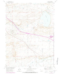
1963 Map of James Lake
USGS Topo · Published 1978About this map
James Lake and the surrounding high plains of Albany County are defined by a complex network of water management and petroleum extraction as of the early 1960s. The landscape is crisscrossed by essential water infrastructure, including Bellamy Ditch No 1, Bellamy Ditch No 2, and the Snake Ditch, which redirect flow across the arid terrain toward ranching operations like the Hunt Ranch and Miller Ranch. In the western portion of the sheet, the Quealy Dome Oil Field signifies the region's industrial footprint, supported by numerous pipelines and a Gravel Pit. Historical transit is preserved through the Overland Trail, which runs through the southern sections near the Little Laramie River. Notable elevation changes occur at Sevenmile Hill and Signal Hill, providing context for the placement of various canals and telephone lines that supported this rural Wyoming economy.
Find a feature on this map
30 named features on this map. Tap any name to fly to it.
Don’t see what you’re looking for? This feature index may not catch every label — zoom into the map to look around manually.
Map Details
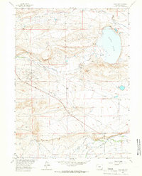
Editions of this 1963 James Lake Map
2 editions found
Other maps of this area

1895 · Laramie
USGS Topo · 1:125,000

1902 · Laramie
USGS Topo · 1:125,000

1905 · Laramie
USGS Topo · 1:125,000

1906 · Medicine Bow
USGS Topo · 1:125,000

1906 · Laramie
USGS Topo · 1:125,000

1908 · Laramie
USGS Topo · 1:125,000

1908 · Medicine Bow
USGS Topo · 1:125,000

1954 · Cheyenne
USGS Topo · 1:250,000

1954 · Rawlins
USGS Topo · 1:250,000

1955 · Big Judson
USGS Topo · 1:24,000