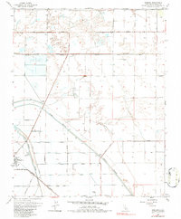
1963 Map of Jamesan
USGS Topo · Published 1984About this map
The lowlands of Fresno County in the early 1960s are defined here by an extensive system of water management and agricultural engineering. The James Bypass and Fresno Slough dominate the southern portion of the sheet, illustrating the region's historical reliance on irrigation and flood control. Near the settlement of Tranquillity, infrastructure such as a Water Tank, Sewage Disposal facility, and a Gaging Station highlight the civic development of this Central Valley community.
Find a feature on this map
34 named features on this map. Tap any name to fly to it.
Don’t see what you’re looking for? This feature index may not catch every label — zoom into the map to look around manually.
Map Details
Editions of this 1963 Jamesan Map
3 editions found
Other maps of this area

1921 · Mendota
USGS Topo · 1:31,680

1923 · Englebrecht Ranch
USGS Topo · 1:31,680

1923 · Biola
USGS Topo · 1:31,680

1924 · Jamesan
USGS Topo · 1:31,680

1924 · Tranquillity
USGS Topo · 1:31,680

1924 · Gravelly Ford
USGS Topo · 1:31,680

1924 · Mendota
USGS Topo · 1:31,680

1925 · Helm
USGS Topo · 1:31,680

1925 · San Joaquin
USGS Topo · 1:31,680

1946 · Tranquillity
USGS Topo · 1:62,500