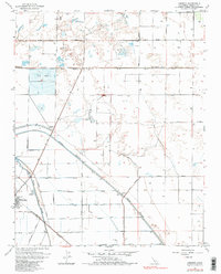
1963 Map of Jamesan
USGS Topo · Published 1984About this map
Tranquillity and the small siding of Jamesan sit within a highly structured agricultural landscape in the San Joaquin Valley, defined by an extensive grid of irrigation and transport. The Southern Pacific railroad cuts diagonally across the terrain, serving as a lifeline for the rural settlements and industrial sites like the Traction Ranch. This mid-century landscape is dominated by water management, where the James Bypass and Fresno Slough navigate a territory marked by controlled inundation zones and numerous wells. The presence of a Landing Strip and specialized features like a Gaging Station and Storage Bin underscore the region's focus on large-scale ranching and commodity production. A network of arterial roads, including Whites Bridge Road and American Avenue, provides the framework for this productive valley floor as it appeared before the late 20th-century shifts in Central Valley agriculture.
Find a feature on this map
37 named features on this map. Tap any name to fly to it.
Don’t see what you’re looking for? This feature index may not catch every label — zoom into the map to look around manually.
Map Details
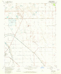
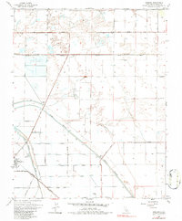
Editions of this 1963 Jamesan Map
3 editions found
Other maps of this area

1921 · Mendota
USGS Topo · 1:31,680

1923 · Englebrecht Ranch
USGS Topo · 1:31,680

1923 · Biola
USGS Topo · 1:31,680

1924 · Jamesan
USGS Topo · 1:31,680

1924 · Tranquillity
USGS Topo · 1:31,680

1924 · Gravelly Ford
USGS Topo · 1:31,680

1924 · Mendota
USGS Topo · 1:31,680

1925 · Helm
USGS Topo · 1:31,680

1925 · San Joaquin
USGS Topo · 1:31,680

1946 · Tranquillity
USGS Topo · 1:62,500