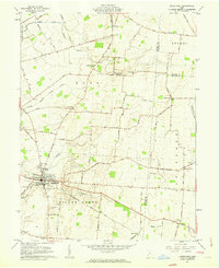
1961 Map of Jamestown
USGS Topo · Published 1963About this map
Jamestown serves as the primary hub for this portion of Greene County, situated at the confluence of several local roads and the South Branch Caesar Creek. The surrounding agricultural landscape is defined by the early 1960s road network, including the Baltimore Road and South Charleston Road, which connect a series of small, unincorporated communities. A significant concentration of historical burial grounds, such as Old Silver Creek Cem and the Quaker Cem, suggests deep genealogical roots in the Silver Creek and Ross townships.
Find a feature on this map
67 named features on this map. Tap any name to fly to it.
Don’t see what you’re looking for? This feature index may not catch every label — zoom into the map to look around manually.
Map Details
Editions of this 1961 Jamestown Map
2 editions found
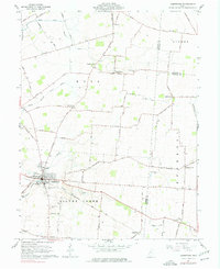
Other maps of this area

1904 · Springfield
USGS Topo · 1:62,500

1906 · Springfield
USGS Topo · 1:62,500

1907 · South Charleston
USGS Topo · 1:62,500

1916 · Octa
USGS Topo · 1:62,500

1917 · Xenia
USGS Topo · 1:62,500

1944 · Octa
USGS Topo · 1:62,500

1947 · Columbus
USGS Topo · 1:250,000

1954 · Clifton
USGS Topo · 1:24,000

1955 · Cedarville
USGS Topo · 1:24,000

1955 · Port William
USGS Topo · 1:24,000