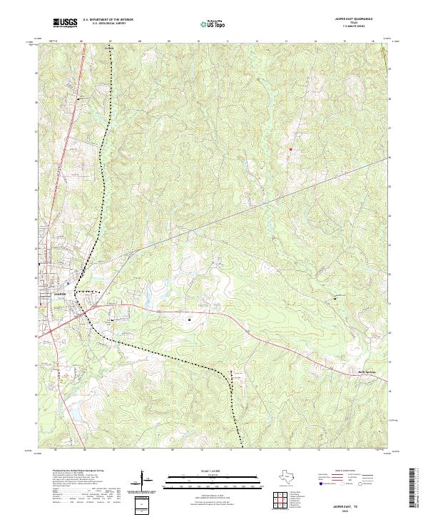
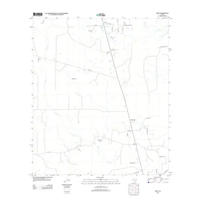
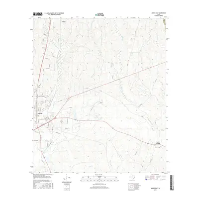
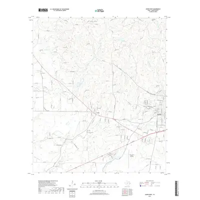
2022 Map of Jasper East
USGS Topo · Published 2022About this map
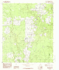
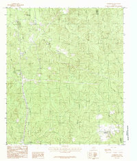
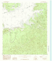
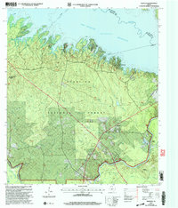
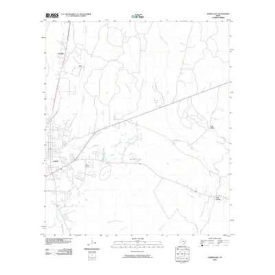
The eastern edges of Jasper serve as the focal point for this Southeast Texas survey, anchored by the Jasper County Courthouse. The landscape transitions from the urban street grid of the county seat to the wooded drainages of the Deep East Texas piney woods. Numerous creek systems, including Little Sandy Cr and Big Walnut Run, carve through the terrain, illustrating the natural watershed that influenced early settlement patterns.
Find a feature on this map
92 named features on this map. Tap any name to fly to it.
Don’t see what you’re looking for? This feature index may not catch every label — zoom into the map to look around manually.
Map Details
Editions of this 2022 Jasper East Map
This is the sole edition of this map. No revisions or reprints were ever made.
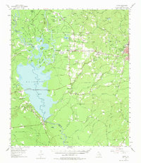
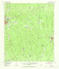
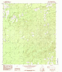
Historical Maps of Jasper Through Time
83 maps found
1955 Curtis
Jasper County, TX
1955 Roganville
Jasper County, TX
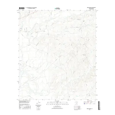
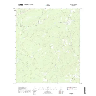
1984 Beech Grove
Jasper County, TX
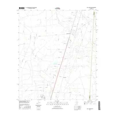
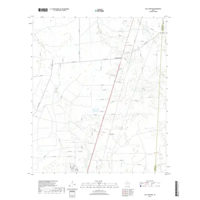
1984 Call Junction
Jasper County, TX
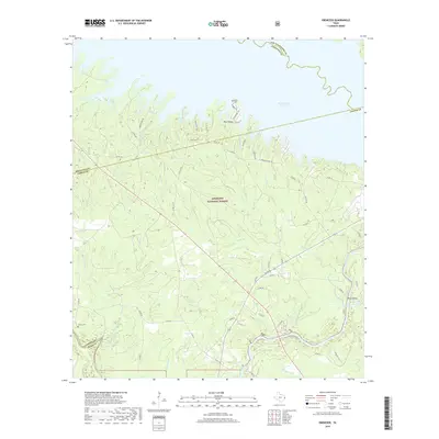
1984 Ebenezer
Jasper County, TX
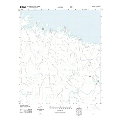
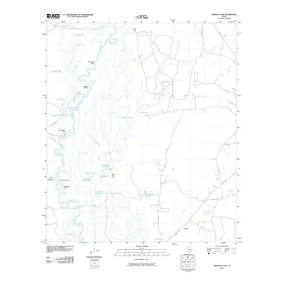
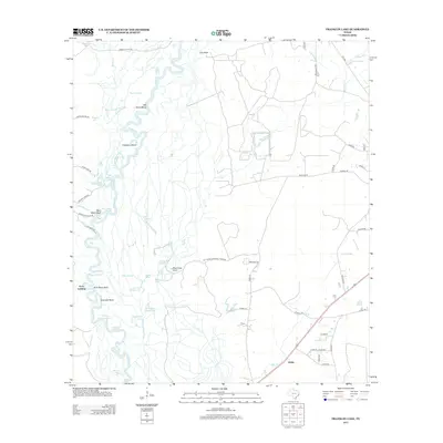
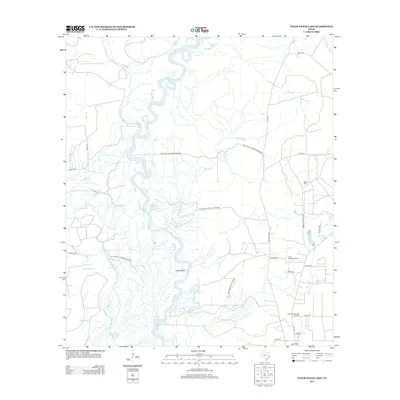
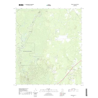
1984 Franklin Lake
Jasper County, TX
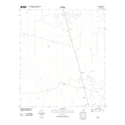
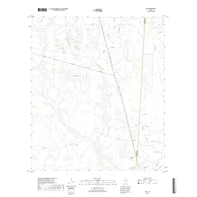
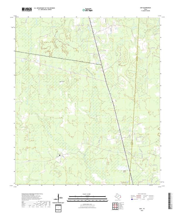
1984 Gist
Jasper County, TX
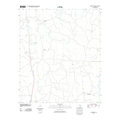
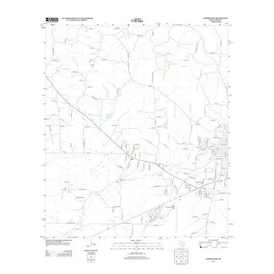
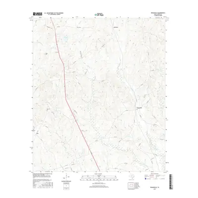
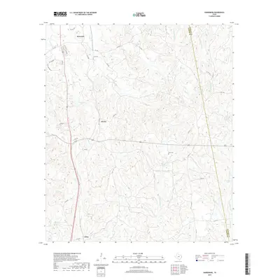
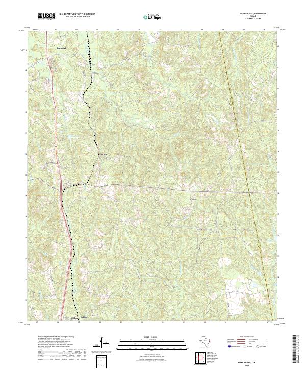
1984 Harrisburg
Jasper County, TX
1984 Jasper East
Jasper County, TX
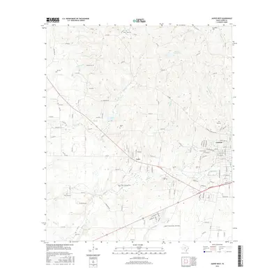
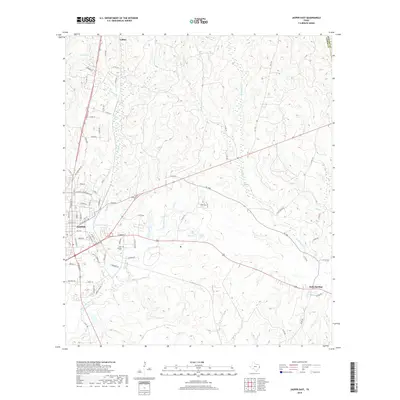
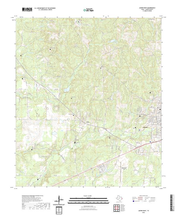
1984 Jasper West
Jasper County, TX
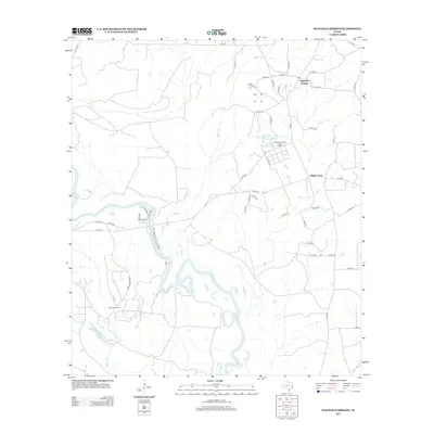
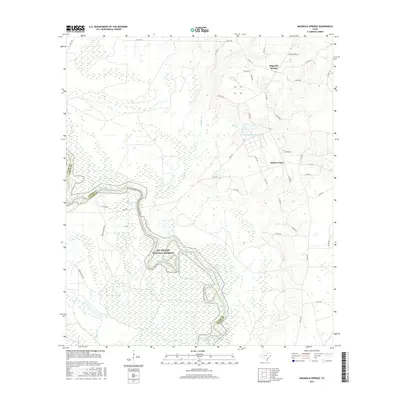
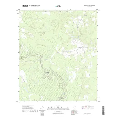
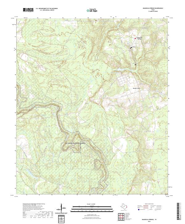
1984 Magnolia Springs
Jasper County, TX
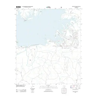
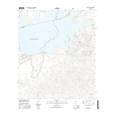
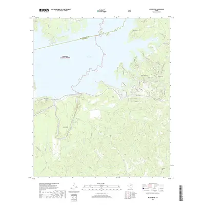
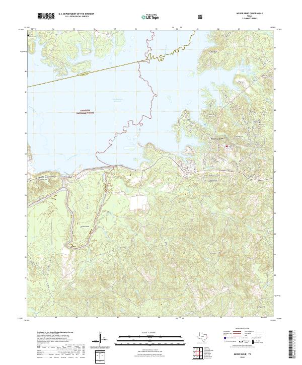
1984 McGee Bend
Jasper County, TX
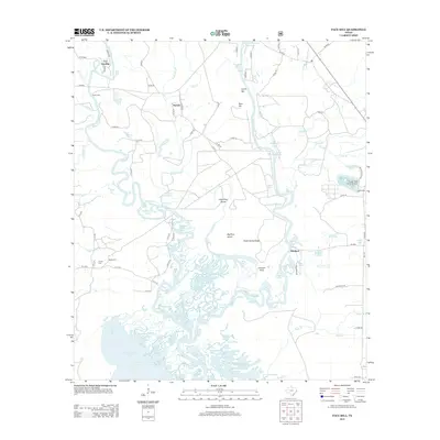
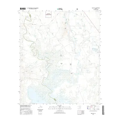
1984 Pace Hill
Jasper County, TX
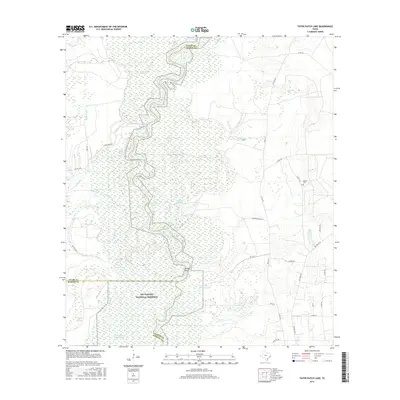
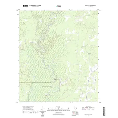
1984 Potato Patch Lake
Jasper County, TX
1984 Roganville
Jasper County, TX
2003 Ebenezer
Jasper County, TX
2003 McGee Bend
Jasper County, TX
2003 Pace Hill
Jasper County, TX

2010 Beech Grove
Jasper County, TX
2010 Call Junction
Jasper County, TX
2010 Ebenezer
Jasper County, TX
2010 Franklin Lake
Jasper County, TX
2010 Gist
Jasper County, TX
2010 Harrisburg
Jasper County, TX
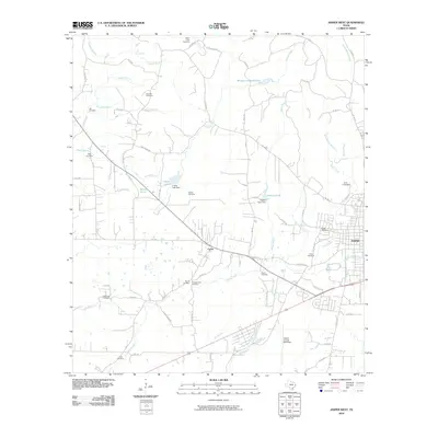
2010 Jasper East
Jasper County, TX
2010 Jasper West
Jasper County, TX
2010 Magnolia Springs
Jasper County, TX
2010 McGee Bend
Jasper County, TX
2010 Pace Hill
Jasper County, TX
2010 Roganville
Jasper County, TX
2010 Tater Patch Lake
Jasper County, TX
2012 Call Junction
Jasper County, TX
2012 Gist
Jasper County, TX
2012 Harrisburg
Jasper County, TX
2012 Jasper East
Jasper County, TX

2012 Roganville
Jasper County, TX

2013 Beech Grove
Jasper County, TX
2013 Ebenezer
Jasper County, TX
2013 Franklin Lake
Jasper County, TX
2013 Jasper West
Jasper County, TX
2013 Magnolia Springs
Jasper County, TX
2013 McGee Bend
Jasper County, TX
2013 Pace Hill
Jasper County, TX
2013 Tater Patch Lake
Jasper County, TX
2016 Beech Grove
Jasper County, TX
2016 Call Junction
Jasper County, TX
2016 Ebenezer
Jasper County, TX
2016 Franklin Lake
Jasper County, TX
2016 Gist
Jasper County, TX
2016 Harrisburg
Jasper County, TX
2016 Jasper East
Jasper County, TX
2016 Jasper West
Jasper County, TX
2016 Magnolia Springs
Jasper County, TX
2016 McGee Bend
Jasper County, TX
2016 Pace Hill
Jasper County, TX
2016 Roganville
Jasper County, TX
2016 Tater Patch Lake
Jasper County, TX
2019 Beech Grove
Jasper County, TX
2019 Call Junction
Jasper County, TX
2019 Ebenezer
Jasper County, TX
2019 Franklin Lake
Jasper County, TX
2019 Gist
Jasper County, TX
2019 Harrisburg
Jasper County, TX
2019 Jasper East
Jasper County, TX
2019 Jasper West
Jasper County, TX
2019 Magnolia Springs
Jasper County, TX
2019 McGee Bend
Jasper County, TX
2019 Pace Hill
Jasper County, TX
2019 Roganville
Jasper County, TX
2019 Tater Patch Lake
Jasper County, TX
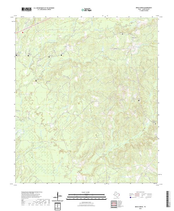
2022 Beech Grove
Jasper County, TX
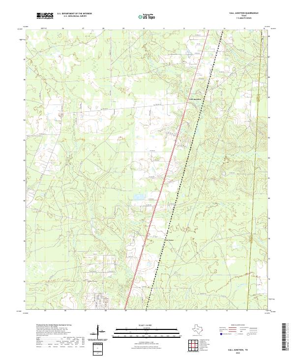
2022 Call Junction
Jasper County, TX
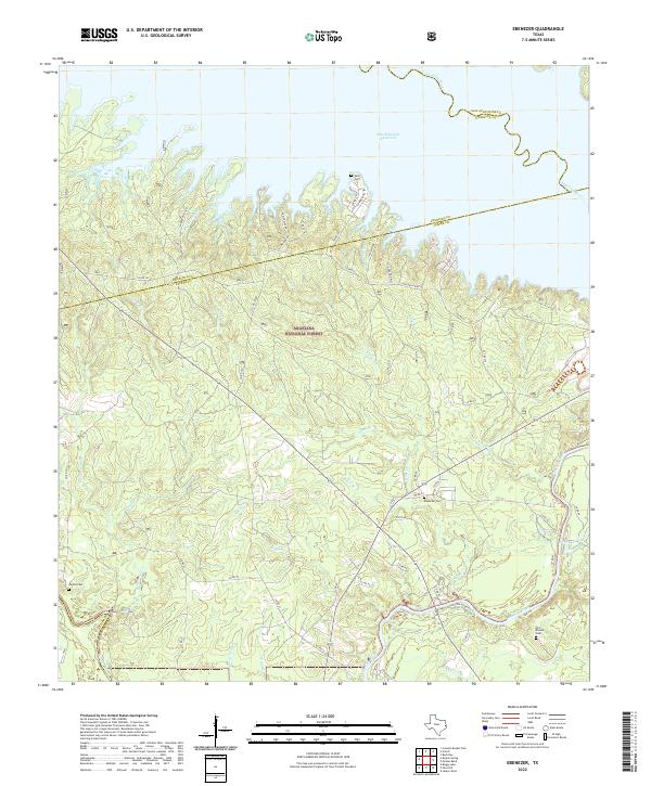
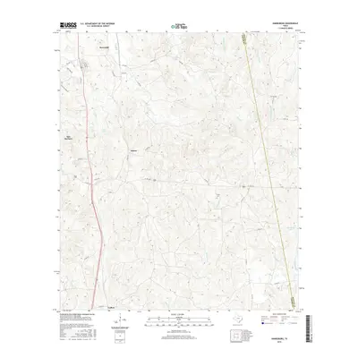
2022 Ebenezer
Jasper County, TX
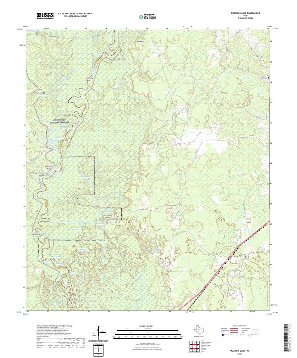
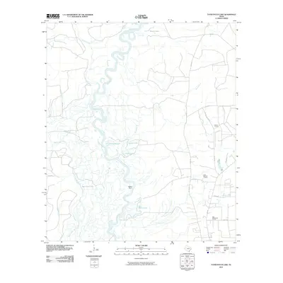
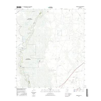
2022 Franklin Lake
Jasper County, TX
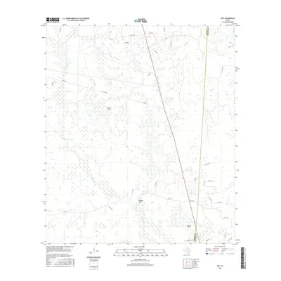
2022 Gist
Jasper County, TX
2022 Harrisburg
Jasper County, TX
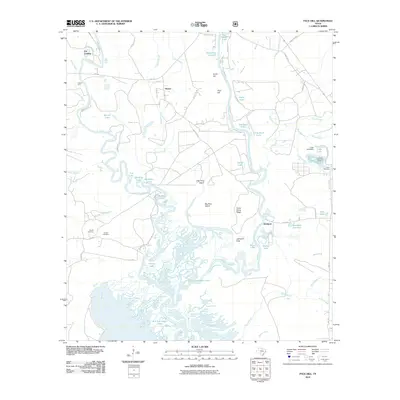
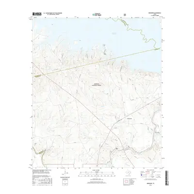
2022 Jasper East
Jasper County, TX
2022 Jasper West
Jasper County, TX
2022 Magnolia Springs
Jasper County, TX
2022 McGee Bend
Jasper County, TX
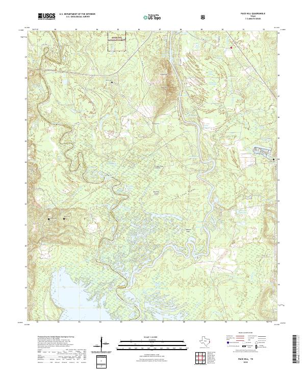
2022 Pace Hill
Jasper County, TX
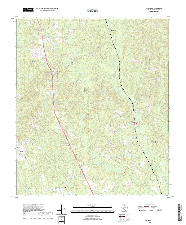
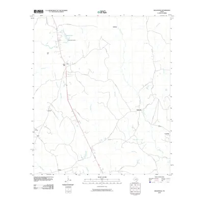
2022 Roganville
Jasper County, TX
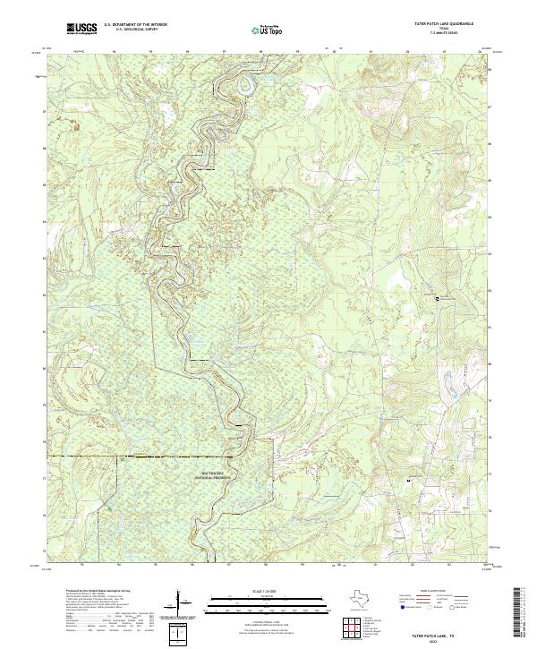
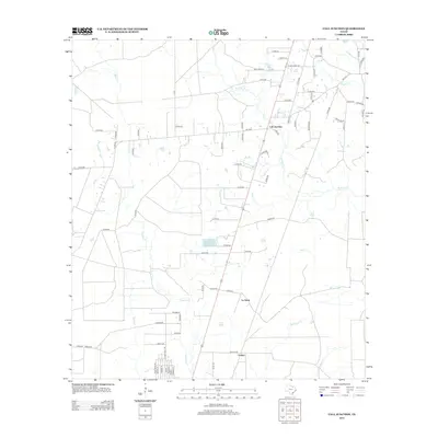
2022 Tater Patch Lake
Jasper County, TX