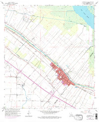
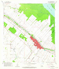
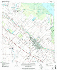
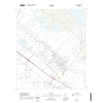
1963 Map of Jeanerette
USGS Topo · Published 1978About this map
Bayou Teche defines the economic and geographic spine of this South Louisiana landscape, its banks crowded with settlements like Jeanerette, Loisel, and Hubertville. The map illustrates a meticulously organized sugar country, where the land is divided into narrow long-lot tracts reaching back from the bayou toward the vast marshes of Lake Fausse Pointe. Parallel rail lines of the Missouri Pacific and Southern Pacific trace the high ground alongside the water, serving the agricultural and industrial needs of the region.
Find a feature on this map
47 named features on this map. Tap any name to fly to it.
Don’t see what you’re looking for? This feature index may not catch every label — zoom into the map to look around manually.
Map Details
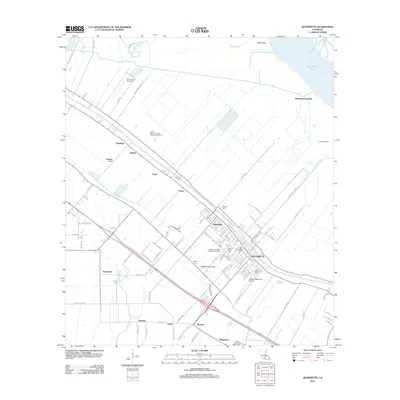
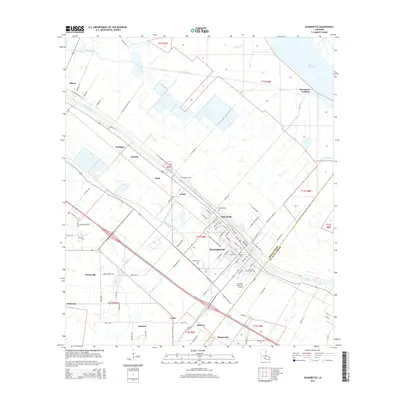
Editions of this 1963 Jeanerette Map
2 editions found
Historical Maps of Jeanerette Through Time
10 maps found

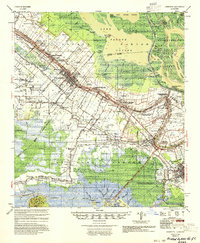
1937 Jeanerette
Iberia Parish, LA
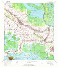
1954 Jeanerette
Iberia Parish, LA
1963 Jeanerette
Iberia Parish, LA
1963 Jeanerette
Iberia Parish, LA
1994 Jeanerette
Iberia Parish, LA
2012 Jeanerette
Iberia Parish, LA
2015 Jeanerette
Iberia Parish, LA
2018 Jeanerette
Iberia Parish, LA
2020 Jeanerette
Iberia Parish, LA
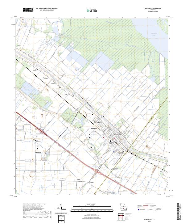
2024 Jeanerette
Iberia Parish, LA