
1894 Map of Jefferson City
USGS Topo · Published 1894About this map
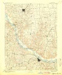
Jefferson City serves as the focal point for this late 19th-century survey, situated along the southern banks of the Missouri River. The landscape is defined by the significant intersection of river traffic and the Missouri Pacific Railroad, which follows the river's winding course. To the north, Columbia appears as a growing hub served by the W. St. Louis and Pacific RR. branch, while the eastern section of the map shows the influence of the Chicago and Alton Railroad passing through Guthrie and New Bloomfield.
Find a feature on this map
88 named features on this map. Tap any name to fly to it.
Don’t see what you’re looking for? This feature index may not catch every label — zoom into the map to look around manually.
Map Details
Editions of this 1894 Jefferson City Map
4 editions found
Other maps of this area

1886 · Jefferson City
USGS Topo · 1:125,000

1888 · Versailles
USGS Topo · 1:125,000

1888 · Tuscumbia
USGS Topo · 1:125,000

1888 · Boonville
USGS Topo · 1:125,000

1890 · Mexico
USGS Topo · 1:125,000

1890 · Moberly
USGS Topo · 1:125,000

1890 · Glasgow
USGS Topo · 1:125,000

1890 · Fulton
USGS Topo · 1:125,000

1893 · Versailles
USGS Topo · 1:125,000

1894 · Tuscumbia
USGS Topo · 1:125,000