
1955 Map of Jefferson City
USGS Topo · Published 1967About this map
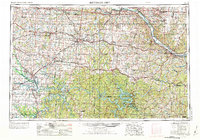
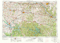
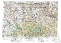
Jefferson City sits at the eastern edge of this mid-century landscape, anchored by the winding Missouri River and the capital city's role as a regional hub. Moving west across Central Missouri, the terrain transitions from the river bluffs into the broad prairies around Sedalia and Warrensburg. This era is defined by the heavy rail infrastructure of the Missouri Pacific and the Chicago Rock Island and Pacific railroads, which connected agricultural centers like Tipton and California to the larger markets.
Find a feature on this map
57 named features on this map. Tap any name to fly to it.
Don’t see what you’re looking for? This feature index may not catch every label — zoom into the map to look around manually.
Map Details
Editions of this 1955 Jefferson City Map
4 editions found
Other maps of this area

1884 · Bolivar
USGS Topo · 1:125,000

1885 · Warrensburg
USGS Topo · 1:125,000

1886 · Nevada
USGS Topo · 1:125,000

1886 · Jefferson City
USGS Topo · 1:125,000

1886 · Stockton
USGS Topo · 1:125,000

1887 · Clinton
USGS Topo · 1:125,000

1887 · Harrisonville
USGS Topo · 1:125,000

1887 · Sedalia
USGS Topo · 1:125,000

1887 · Warsaw
USGS Topo · 1:125,000

1887 · Butler
USGS Topo · 1:125,000