
1952 Map of Jenks
USGS Topo · Published 1953About this map
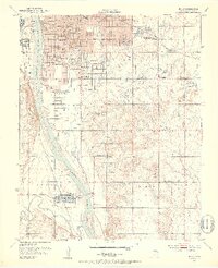
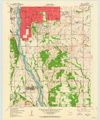
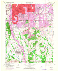
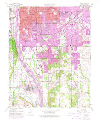
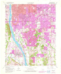
The Arkansas River corridor south of Tulsa reveals a mid-century landscape of heavy industry, aviation, and expanding education. An Oil Refinery and numerous oil wells dominate the western bank near Garden City, while the Midland Valley railroad tracks trace the river's path south toward Jenks. This survey documents a critical period of development for local institutions, showing the campuses of Holland Hall Sch, Eliot Sch, and the Apostolic College.
Find a feature on this map
45 named features on this map. Tap any name to fly to it.
Don’t see what you’re looking for? This feature index may not catch every label — zoom into the map to look around manually.
Map Details
Editions of this 1952 Jenks Map
8 editions found
Other maps of this area

1896 · Okmulgee
USGS Topo · 1:125,000

1900 · Okmulgee
USGS Topo · 1:125,000

1901 · Claremore
USGS Topo · 1:125,000

1901 · Nuyaka
USGS Topo · 1:125,000

1912 · Hominy
USGS Topo · 1:125,000

1914 · Kiefer
USGS Topo · 1:62,500

1914 · Claremore
USGS Topo · 1:125,000

1915 · Hominy
USGS Topo · 1:125,000

1916 · Kiefer
USGS Topo · 1:62,500

1916 · Claremore
USGS Topo · 1:125,000