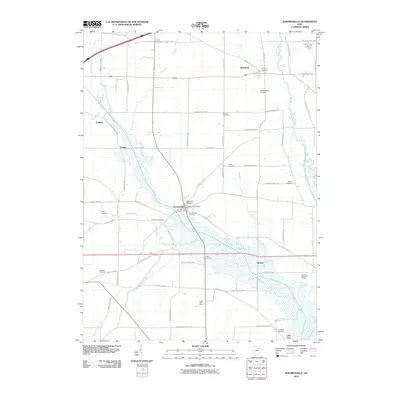
2010 Map of Jeromesville
USGS Topo · Published 2010About this map
Jeromesville and the surrounding Mohican Township landscape are defined by the convergence of several waterways, including Jerome Fork, Oldtown Run, and the winding Muddy Fork to the east. This 2010 topographic record shows a countryside established around a network of township and county roads, with agricultural sites like Apple Barn Farm and recreational spaces such as Mohican Hills Golf Course.
Find a feature on this map
72 named features on this map. Tap any name to fly to it.
Don’t see what you’re looking for? This feature index may not catch every label — zoom into the map to look around manually.
Map Details
Editions of this 2010 Jeromesville Map
This is the sole edition of this map. No revisions or reprints were ever made.
Other maps of this area

1906 · West Salem
USGS Topo · 1:62,500

1908 · Ashland
USGS Topo · 1:62,500

1908 · West Salem
USGS Topo · 1:62,500

1912 · Loudonville
USGS Topo · 1:62,500

1912 · Perrysville
USGS Topo · 1:62,500

1914 · Loudonville
USGS Topo · 1:62,500

1915 · Perrysville
USGS Topo · 1:62,500

1943 · Loudonville
USGS Topo · 1:62,500

1944 · Perrysville
USGS Topo · 1:62,500

1950 · Marion
USGS Topo · 1:250,000