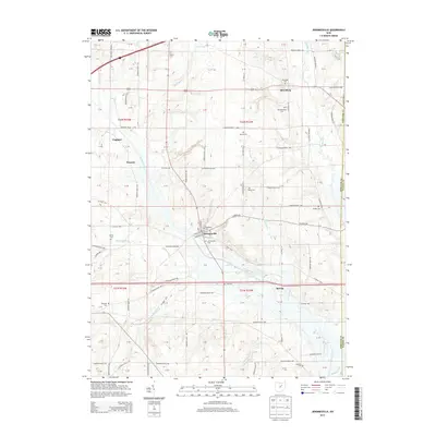
2013 Map of Jeromesville
USGS Topo · Published 2013About this map
Jeromesville and its surrounding countryside in Ashland County are defined by the convergence of agricultural land and several key tributaries of the Mohican River. The village itself, situated near the confluence of Oldtown Run and the Jerome Fork, displays a traditional grid including N High St and small alleys like Spice Aly. This 2013 survey provides a detailed view of the rural landscape before more recent shifts in land use, showing established settlements like Rowsburg, England, and Treaton. Genealogists will find significant value in the numerous burial sites identified across the townships, including the Old Rowsburg Cem and the Methodist Cem. The map also traces the winding courses of Scott Run and Glenn Run as they carve through the terrain of t22n r15w and t21n r15w, illustrating the long-standing relationship between local water sources and the township road network.
Find a feature on this map
90 named features on this map. Tap any name to fly to it.
Don’t see what you’re looking for? This feature index may not catch every label — zoom into the map to look around manually.
Map Details
Editions of this 2013 Jeromesville Map
This is the sole edition of this map. No revisions or reprints were ever made.
Other maps of this area

1906 · West Salem
USGS Topo · 1:62,500

1908 · Ashland
USGS Topo · 1:62,500

1908 · West Salem
USGS Topo · 1:62,500

1912 · Loudonville
USGS Topo · 1:62,500

1912 · Perrysville
USGS Topo · 1:62,500

1914 · Loudonville
USGS Topo · 1:62,500

1915 · Perrysville
USGS Topo · 1:62,500

1943 · Loudonville
USGS Topo · 1:62,500

1944 · Perrysville
USGS Topo · 1:62,500

1950 · Marion
USGS Topo · 1:250,000