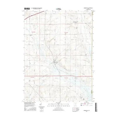
2016 Map of Jeromesville
USGS Topo · Published 2016About this map
Jeromesville serves as the central hub of this Ashland County landscape, where the Jerome Fork and Oldtown Run converge. The area's long-established community life is marked by numerous burial grounds, including the Jeromesville Cem, Methodist Cem, and the historic Old Rowsburg Cem located south of the village of Rowsburg. The rural character of the region is defined by these small settlements and the persistent drainage patterns of the Muddy Fork and Quaker Springs Run.
Find a feature on this map
82 named features on this map. Tap any name to fly to it.
Don’t see what you’re looking for? This feature index may not catch every label — zoom into the map to look around manually.
Map Details
Editions of this 2016 Jeromesville Map
This is the sole edition of this map. No revisions or reprints were ever made.
Other maps of this area

1906 · West Salem
USGS Topo · 1:62,500

1908 · Ashland
USGS Topo · 1:62,500

1908 · West Salem
USGS Topo · 1:62,500

1912 · Loudonville
USGS Topo · 1:62,500

1912 · Perrysville
USGS Topo · 1:62,500

1914 · Loudonville
USGS Topo · 1:62,500

1915 · Perrysville
USGS Topo · 1:62,500

1943 · Loudonville
USGS Topo · 1:62,500

1944 · Perrysville
USGS Topo · 1:62,500

1950 · Marion
USGS Topo · 1:250,000