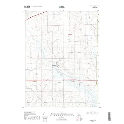
2019 Map of Jeromesville
USGS Topo · Published 2019About this map
Jeromesville serves as the central hub of this Ashland County landscape, where the waters of Jerome Fork and Oldtown Run meet. The geography is defined by a dense network of early burial grounds that trace the settlement patterns of Mohican Township and its neighbors, including the Old Rowsburg Cem and the Bushnell Cem to the west. Small hamlets like Rowsburg in the northeast and England in the northwest anchor the rural road system, while the southern boundary is marked by Spreng and the edges of Lake Fork. The intricate drainage of the region is visible through various named tributaries such as Scott Run, Newell Run, and Quaker Springs Run, which carve through the land before joining the larger forks. This modern survey provides a clear view of how these small 19th-century settlements have persisted into the 21st century.
Find a feature on this map
81 named features on this map. Tap any name to fly to it.
Don’t see what you’re looking for? This feature index may not catch every label — zoom into the map to look around manually.
Map Details
Editions of this 2019 Jeromesville Map
This is the sole edition of this map. No revisions or reprints were ever made.
Other maps of this area

1906 · West Salem
USGS Topo · 1:62,500

1908 · Ashland
USGS Topo · 1:62,500

1908 · West Salem
USGS Topo · 1:62,500

1912 · Loudonville
USGS Topo · 1:62,500

1912 · Perrysville
USGS Topo · 1:62,500

1914 · Loudonville
USGS Topo · 1:62,500

1915 · Perrysville
USGS Topo · 1:62,500

1943 · Loudonville
USGS Topo · 1:62,500

1944 · Perrysville
USGS Topo · 1:62,500

1950 · Marion
USGS Topo · 1:250,000