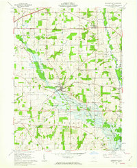
1961 Map of Jeromesville
USGS Topo · Published 1963About this map
Jeromesville serves as the focal point of this Ashland County landscape, where the Erie Railroad tracks cut a diagonal path across the valley of the Jerome Fork. The map documents a rural Ohio economy in transition, balancing established agriculture with active extraction, as evidenced by numerous Oil Wells and Gas Wells scattered throughout Perry and Montgomery townships. The infrastructure of the early 1960s is clearly visible, including a prominent Pipeline and a Pumping Station north of Rowsburg.
Find a feature on this map
39 named features on this map. Tap any name to fly to it.
Don’t see what you’re looking for? This feature index may not catch every label — zoom into the map to look around manually.
Map Details
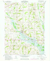
Editions of this 1961 Jeromesville Map
2 editions found
Other maps of this area

1906 · West Salem
USGS Topo · 1:62,500

1908 · Ashland
USGS Topo · 1:62,500

1908 · West Salem
USGS Topo · 1:62,500

1912 · Loudonville
USGS Topo · 1:62,500

1912 · Perrysville
USGS Topo · 1:62,500

1914 · Loudonville
USGS Topo · 1:62,500

1915 · Perrysville
USGS Topo · 1:62,500

1943 · Loudonville
USGS Topo · 1:62,500

1944 · Perrysville
USGS Topo · 1:62,500

1950 · Marion
USGS Topo · 1:250,000