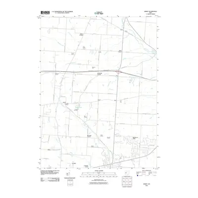
2010 Map of Jersey
USGS Topo · Published 2010About this map
Jersey sits at the heart of this Licking County landscape, where the South Fork Licking River and its numerous tributaries like Muddy Fork and Blacklick Creek carve through the terrain. The map reveals a deeply rooted rural community organized around traditional crossroads, evidenced by named junctions such as Millers Corners, Hazelton Corners, and Tylers Corners. These points of interest, along with local landmarks like the Lynd Fruit Farm and Kearns Airport, reflect an area defined by long-standing agricultural and local commerce patterns.
Find a feature on this map
62 named features on this map. Tap any name to fly to it.
Don’t see what you’re looking for? This feature index may not catch every label — zoom into the map to look around manually.
Map Details
Editions of this 2010 Jersey Map
This is the sole edition of this map. No revisions or reprints were ever made.
Other maps of this area

1902 · Westerville
USGS Topo · 1:62,500

1904 · Westerville
USGS Topo · 1:62,500

1907 · Thurston
USGS Topo · 1:62,500

1908 · Granville
USGS Topo · 1:62,500

1909 · Thurston
USGS Topo · 1:62,500

1910 · Granville
USGS Topo · 1:62,500

1925 · East Columbus
USGS Topo · 1:62,500

1943 · East Columbus
USGS Topo · 1:62,500

1947 · Columbus
USGS Topo · 1:250,000

1950 · Marion
USGS Topo · 1:250,000