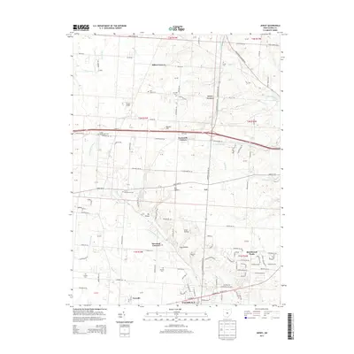
2013 Map of Jersey
USGS Topo · Published 2013About this map
Pataskala and the surrounding Licking County countryside reveal a landscape defined by small rural settlements and a dense network of pioneer-era burial grounds. The map documents several historic "Corners," including Millers Corners, Tylers Corners, and Panhandle Corners, which suggest the persistence of early crossroads communities. The S Fork Licking River and its tributaries, such as Muddy Fork and Raccoon Creek, carve through the terrain, influencing the placement of early homesteads and roads. For genealogists, the density of small cemeteries is remarkable, ranging from the Saint Joseph Cem in the north to Wickliff Cem and Swisher Cem further south. Modern development is most visible in the planned layout of Beechwood Trails, contrasting with the more dispersed rural character of places like Ash and Fursville.
Find a feature on this map
101 named features on this map. Tap any name to fly to it.
Don’t see what you’re looking for? This feature index may not catch every label — zoom into the map to look around manually.
Map Details
Editions of this 2013 Jersey Map
This is the sole edition of this map. No revisions or reprints were ever made.
Other maps of this area

1902 · Westerville
USGS Topo · 1:62,500

1904 · Westerville
USGS Topo · 1:62,500

1907 · Thurston
USGS Topo · 1:62,500

1908 · Granville
USGS Topo · 1:62,500

1909 · Thurston
USGS Topo · 1:62,500

1910 · Granville
USGS Topo · 1:62,500

1925 · East Columbus
USGS Topo · 1:62,500

1943 · East Columbus
USGS Topo · 1:62,500

1947 · Columbus
USGS Topo · 1:250,000

1950 · Marion
USGS Topo · 1:250,000