Loading...
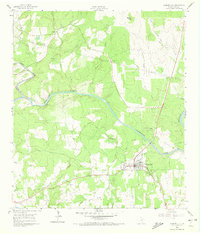
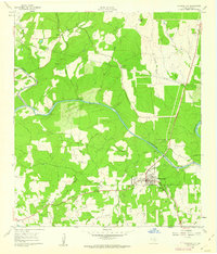
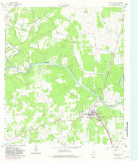
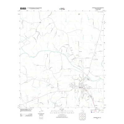
Loading map...1961 Map of Johnson City
USGS Topo · Published 1972About this map
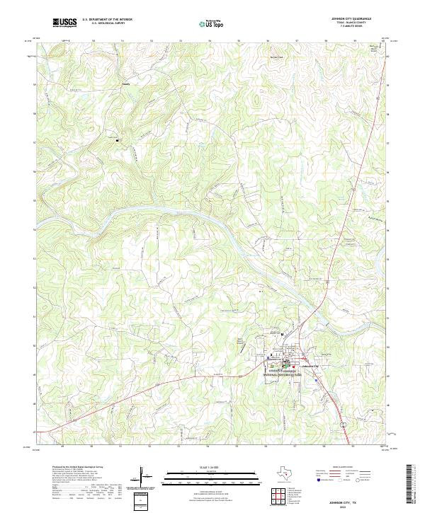
The Pedernales River winds prominently through this Central Texas landscape, dividing the northern hills near Buffalo Peak from the growing municipal center of Johnson City. The 1961 field survey captures the town's essential civic infrastructure, including the High Sch, Hospital, and Fairgrounds, alongside local aviation hubs like Waller Airfield and Water Airfield. These small airfields and the alignment of Highways 290 and 281 illustrate a mid-century community serving as a regional crossroads.
Find a feature on this map
33 named features on this map. Tap any name to fly to it.
Don’t see what you’re looking for? This feature index may not catch every label — zoom into the map to look around manually.
Map Details
Date Portrayed1961
Date Published1972
PublisherU.S. Geological Survey
Map TypeTopographic
Scale1:24,000
Physical Dimensions23.1 x 27 inches
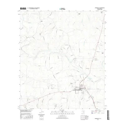
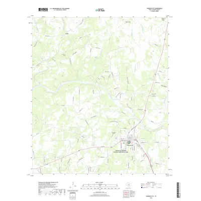
Editions of this 1961 Johnson City Map
Historical Maps of Johnson City Through Time
6 maps found
Featured Locations
Source Details
SourceU.S. Geological Survey
CopyrightPublic Domain