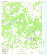
1961 Map of Johnson City
USGS Topo · Published 1982About this map
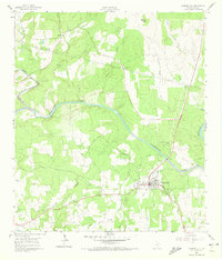
Johnson City serves as the focal point of this Central Texas landscape, where the Pedernales River carves a winding path through the limestone-rich terrain. The map captures the town during a period of mid-century growth, featuring municipal infrastructure like the High Sch, Fairgrounds, and Waller Airfield. Notable for its social history, the sheet identifies the Happy Old Folks Home on the western outskirts of the city and the small settlement of Sandy to the north.
Find a feature on this map
30 named features on this map. Tap any name to fly to it.
Don’t see what you’re looking for? This feature index may not catch every label — zoom into the map to look around manually.
Map Details
Editions of this 1961 Johnson City Map
Other maps of this area

1887 · Blanco
USGS Topo · 1:125,000

1894 · Fredericksburg
USGS Topo · 1:125,000

1894 · Blanco
USGS Topo · 1:125,000

1954 · Llano
USGS Topo · 1:250,000

1955 · Llano
USGS Topo · 1:250,000

1956 · Llano
USGS Topo · 1:250,000

1961 · Hye
USGS Topo · 1:24,000

1961 · Rocky Creek
USGS Topo · 1:24,000
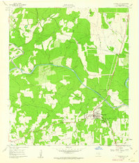
1961 · Johnson City
USGS Topo · 1:24,000

1963 · Yeager Creek
USGS Topo · 1:24,000