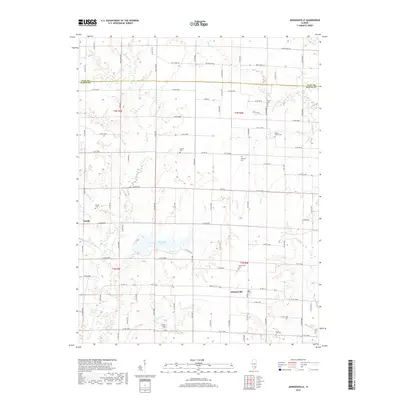
2018 Map of Johnsonville
USGS Topo · Published 2018About this map
Johnsonville and the crossroads of Zenith anchor this Illinois landscape along the border of Wayne and Clay counties. The area is defined by a dense network of country roads, including Co RD 1900n and State Rte 161, which serve the agricultural plots and small family burial grounds scattered throughout the township. These include Wesley Chapel Cem, Smyer Old Cem, and Willow Branch Cem, documenting the genealogy of the prairie settlers who established these communities.
Find a feature on this map
91 named features on this map. Tap any name to fly to it.
Don’t see what you’re looking for? This feature index may not catch every label — zoom into the map to look around manually.
Map Details
Editions of this 2018 Johnsonville Map
This is the sole edition of this map. No revisions or reprints were ever made.
Other maps of this area

1947 · Wayne City
USGS Topo · 1:62,500

1948 · Fairfield
USGS Topo · 1:62,500

1948 · Flora
USGS Topo · 1:62,500

1949 · Flora
USGS Topo · 1:62,500

1952 · Xenia
USGS Topo · 1:62,500

1958 · Belleville
USGS Topo · 1:250,000

1962 · Belleville
USGS Topo · 1:250,000
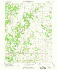
1968 · Orchardville
USGS Topo · 1:24,000
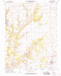
1968 · Xenia
USGS Topo · 1:24,000
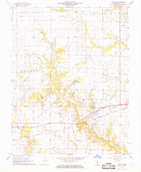
1968 · Xenia NE
USGS Topo · 1:24,000