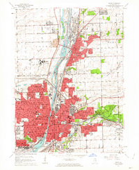
1962 Map of Joliet
USGS Topo · Published 1963About this map
The industrial corridor of the Des Plaines River dominates this early 1960s landscape, where massive infrastructure projects like the Sanitary and Ship Canal and the historic Illinois and Michigan Canal run parallel. The city of Joliet and neighboring Lockport are shown at a peak of mid-century development, characterized by a dense concentration of institutions including the Stateville State Prison and the Joliet State Prison.
Find a feature on this map
133 named features on this map. Tap any name to fly to it.
Don’t see what you’re looking for? This feature index may not catch every label — zoom into the map to look around manually.
Map Details
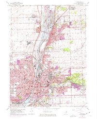
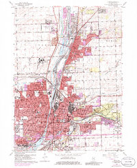
Editions of this 1962 Joliet Map
3 editions found
Other maps of this area

1890 · Des Plaines
USGS Topo · 1:62,500

1892 · Joliet
USGS Topo · 1:62,500

1892 · Wilmington
USGS Topo · 1:62,500

1894 · Des Plaines
USGS Topo · 1:62,500

1900 · Des Plaines
USGS Topo · 1:62,500

1901 · Des Plaines
USGS Topo · 1:62,500

1918 · Wilmington
USGS Topo · 1:62,500

1923 · Joliet
USGS Topo · 1:62,500

1928 · Sag Bridge
USGS Topo · 1:24,000

1929 · Brisbane
USGS Topo · 1:24,000