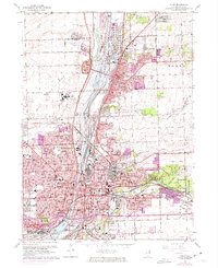
1962 Map of Joliet
USGS Topo · Published 1974About this map
The Des Plaines River and the Sanitary and Ship Canal form the industrial spine of this region, separating the massive complex of Stateville State Prison from the expanding neighborhoods of Lockport and Joliet. The landscape is a dense network of major railroads, including the Atchison Topeka and Santa Fe Railroad and the Elgin Joliet and Eastern Railroad, which served the local quarries and factories. This era shows significant suburban growth, particularly in areas like Crest Hill and New Lenox.
Find a feature on this map
80 named features on this map. Tap any name to fly to it.
Don’t see what you’re looking for? This feature index may not catch every label — zoom into the map to look around manually.
Map Details
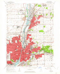
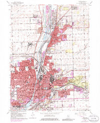
Editions of this 1962 Joliet Map
3 editions found
Other maps of this area

1890 · Des Plaines
USGS Topo · 1:62,500

1892 · Joliet
USGS Topo · 1:62,500

1892 · Wilmington
USGS Topo · 1:62,500

1894 · Des Plaines
USGS Topo · 1:62,500

1900 · Des Plaines
USGS Topo · 1:62,500

1901 · Des Plaines
USGS Topo · 1:62,500

1918 · Wilmington
USGS Topo · 1:62,500

1923 · Joliet
USGS Topo · 1:62,500

1928 · Sag Bridge
USGS Topo · 1:24,000

1929 · Brisbane
USGS Topo · 1:24,000