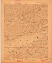
1891 Map of Jonesville
USGS Topo · Published 1897About this map
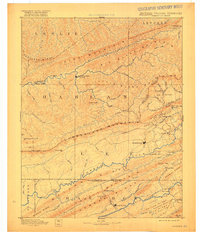
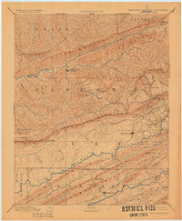
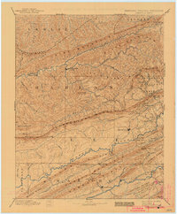
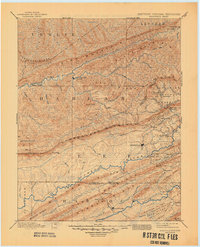
Cumberland Mountain forms a massive central spine across this late 19th-century survey, separating the rugged coal-bearing plateaus of Kentucky from the ridge-and-valley topography of Virginia and Tennessee. The landscape is defined by its strategic passages, such as Pennington Gap and Hunter Gap, which provided essential transit for early settlers and commerce. In the north, Mt Pleasant sits along the Cumberland River, while to the south, Jonesville and Sneedville anchor the agricultural valleys. This era shows a river-dependent economy in transition, evidenced by numerous historical river crossings like Poteet Ford, Dickerson Ford, and Miner Ford along the Powell River. Further south, the map traces the narrow, parallel corridors of Wallen Ridge and Newman Ridge, illustrating the isolated settlement patterns of these Appalachian highlands before the widespread expansion of heavy industry.
Find a feature on this map
87 named features on this map. Tap any name to fly to it.
Don’t see what you’re looking for? This feature index may not catch every label — zoom into the map to look around manually.
Map Details
Editions of this 1891 Jonesville Map
9 editions found
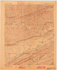
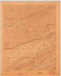
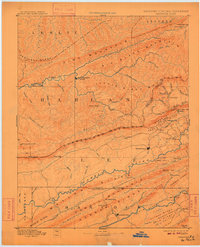
Other maps of this area

1883 · Morristown
USGS Topo · 1:125,000

1886 · Cumberland Gap
USGS Topo · 1:125,000

1887 · Jonesville
USGS Topo · 1:125,000

1888 · Cumberland Gap
USGS Topo · 1:125,000

1890 · Whitesburg
USGS Topo · 1:125,000

1891 · Manchester
USGS Topo · 1:125,000

1891 · Cumberland Gap
USGS Topo · 1:125,000

1891 · Hazard
USGS Topo · 1:125,000

1891 · Jonesville
USGS Topo · 1:125,000

1892 · Greeneville
USGS Topo · 1:125,000