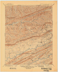
1891 Map of Jonesville
USGS Topo · Published 1945About this map
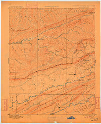
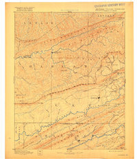
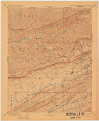
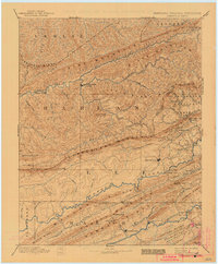
Cumberland Mountain and Pine Mountain dominate this late 19th-century landscape, where the high ridges of the Appalachians define the borders of Kentucky, Virginia, and Tennessee. This survey shows the region before industrial modernization, relying on a series of river crossings like Shafer Fd, Poteet Ford, and Dickerson Ford to connect the valley settlements. The terrain is a complex network of narrow hollows and high ridges, including Little Black Mountain and Newman Ridge, which channeled movement between the Cumberland River and Powell River watersheds. Significant early settlements such as Jonesville and Sneedville serve as regional anchors, while smaller communities like Mt Pleasant and Wallins Creek are positioned along the winding watercourses. The inclusion of gaps like Pennington Gap and Hunter Gap highlights the vital importance of natural passes for travel through the formidable mountain chains.
Find a feature on this map
77 named features on this map. Tap any name to fly to it.
Don’t see what you’re looking for? This feature index may not catch every label — zoom into the map to look around manually.
Map Details
Editions of this 1891 Jonesville Map
9 editions found
Other maps of this area

1883 · Morristown
USGS Topo · 1:125,000

1886 · Cumberland Gap
USGS Topo · 1:125,000

1887 · Jonesville
USGS Topo · 1:125,000

1888 · Cumberland Gap
USGS Topo · 1:125,000

1890 · Whitesburg
USGS Topo · 1:125,000

1891 · Manchester
USGS Topo · 1:125,000

1891 · Cumberland Gap
USGS Topo · 1:125,000

1891 · Hazard
USGS Topo · 1:125,000

1891 · Jonesville
USGS Topo · 1:125,000

1892 · Greeneville
USGS Topo · 1:125,000