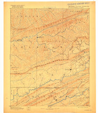
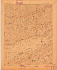
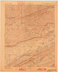
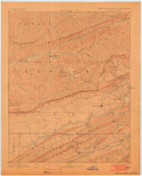
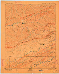
1891 Map of Jonesville
USGS Topo · Published 1918About this map
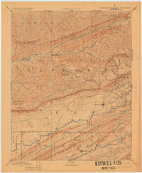
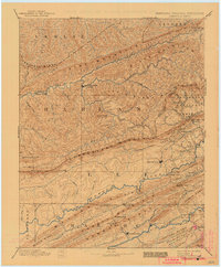
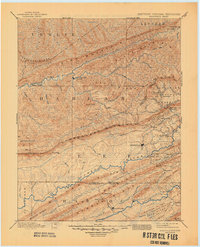
Jonesville serves as a central hub in this late nineteenth-century reconnaissance of the tri-state borderlands where Kentucky, Virginia, and Tennessee converge. The landscape is defined by the massive parallel ridges of Pine Mountain, Big Black Mountain, and Cumberland Mountain, creating a rugged corridor for early travel and settlement. The Powell River and Clinch River wind through the southern valleys, their banks marked by essential transit points like Poteet Ford and Dickerson Ford.
Find a feature on this map
96 named features on this map. Tap any name to fly to it.
Don’t see what you’re looking for? This feature index may not catch every label — zoom into the map to look around manually.
Map Details
Editions of this 1891 Jonesville Map
9 editions found
Other maps of this area

1883 · Morristown
USGS Topo · 1:125,000

1886 · Cumberland Gap
USGS Topo · 1:125,000

1887 · Jonesville
USGS Topo · 1:125,000

1888 · Cumberland Gap
USGS Topo · 1:125,000

1890 · Whitesburg
USGS Topo · 1:125,000

1891 · Manchester
USGS Topo · 1:125,000

1891 · Cumberland Gap
USGS Topo · 1:125,000

1891 · Hazard
USGS Topo · 1:125,000

1891 · Jonesville
USGS Topo · 1:125,000

1892 · Greeneville
USGS Topo · 1:125,000