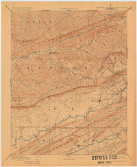
1891 Map of Jonesville
USGS Topo · Published 1925About this map
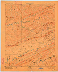
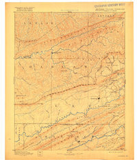
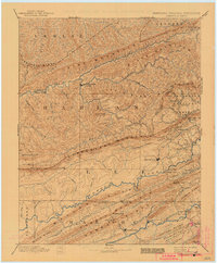
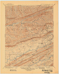
Cumberland Mountain and Pine Mountain dominate this late 19th-century reconnaissance, capturing the tri-state borderlands of Kentucky, Virginia, and Tennessee. This survey represents a period when movement through the Gap region relied on mountain passes like Pennington Gap and river crossings such as Poteet Ford and Dickerson Ford. The map identifies the early footprint of Mt Pleasant, later known as Harlan, alongside long-standing county seats like Jonesville and Sneedville.
Find a feature on this map
81 named features on this map. Tap any name to fly to it.
Don’t see what you’re looking for? This feature index may not catch every label — zoom into the map to look around manually.
Map Details
Editions of this 1891 Jonesville Map
9 editions found
Other maps of this area

1883 · Morristown
USGS Topo · 1:125,000

1886 · Cumberland Gap
USGS Topo · 1:125,000

1887 · Jonesville
USGS Topo · 1:125,000

1888 · Cumberland Gap
USGS Topo · 1:125,000

1890 · Whitesburg
USGS Topo · 1:125,000

1891 · Manchester
USGS Topo · 1:125,000

1891 · Cumberland Gap
USGS Topo · 1:125,000

1891 · Hazard
USGS Topo · 1:125,000

1891 · Jonesville
USGS Topo · 1:125,000

1892 · Greeneville
USGS Topo · 1:125,000