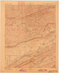
1891 Map of Jonesville
USGS Topo · Published 1901About this map
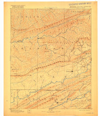
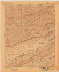
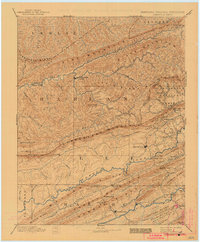
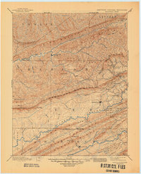
Jonesville and the surrounding tri-state terrain of the late 19th century are defined by the massive ridges of the Appalachian chain, where transportation was dictated by river gaps and mountain fords. This reconnaissance survey, conducted between 1882 and 1885, captures the landscape of the Cumberland Plateau before the full-scale industrialization of the coal fields. Settlements like Mt Pleasant and Sneedville act as early hubs within a network of valleys carved by the Cumberland River, Powell River, and Clinch River. The map details critical crossings such as Poteet Ford and Dickerson Ford, which were essential for regional movement through Lee County, Virginia, and into Hancock County, Tennessee. Significant landmarks like the White Rocks and the distinctive geological feature of The Pocket highlight the complex topography that early surveyors and settlers navigated, while numerous gaps like Pennington Gap and Mulberry Gap show the established routes through Pine Mountain and Cumberland Mountain.
Find a feature on this map
89 named features on this map. Tap any name to fly to it.
Don’t see what you’re looking for? This feature index may not catch every label — zoom into the map to look around manually.
Map Details
Editions of this 1891 Jonesville Map
9 editions found
Other maps of this area

1883 · Morristown
USGS Topo · 1:125,000

1886 · Cumberland Gap
USGS Topo · 1:125,000

1887 · Jonesville
USGS Topo · 1:125,000

1888 · Cumberland Gap
USGS Topo · 1:125,000

1890 · Whitesburg
USGS Topo · 1:125,000

1891 · Manchester
USGS Topo · 1:125,000

1891 · Cumberland Gap
USGS Topo · 1:125,000

1891 · Hazard
USGS Topo · 1:125,000

1891 · Jonesville
USGS Topo · 1:125,000

1892 · Greeneville
USGS Topo · 1:125,000