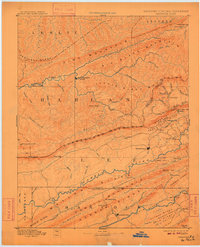
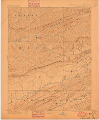
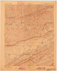
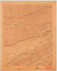
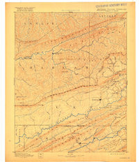
1891 Map of Jonesville
USGS Topo · Published 1910About this map
Cumberland Mountain and Pine Mountain dominate this late 19th-century landscape, where the jagged borders of Kentucky, Virginia, and Tennessee meet. The settlement of Jonesville sits in the heart of the Powell Valley, a region defined by its reliance on river crossings and mountain gaps before the widespread arrival of modern infrastructure. Along the Powell River, early transportation is marked by numerous river crossings such as Poteet Ford and Dickerson Ford.
Find a feature on this map
87 named features on this map. Tap any name to fly to it.
Don’t see what you’re looking for? This feature index may not catch every label — zoom into the map to look around manually.
Map Details
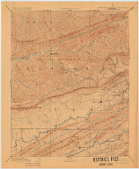
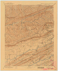
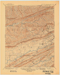
Editions of this 1891 Jonesville Map
9 editions found
Other maps of this area

1883 · Morristown
USGS Topo · 1:125,000

1886 · Cumberland Gap
USGS Topo · 1:125,000

1887 · Jonesville
USGS Topo · 1:125,000

1888 · Cumberland Gap
USGS Topo · 1:125,000

1890 · Whitesburg
USGS Topo · 1:125,000

1891 · Manchester
USGS Topo · 1:125,000

1891 · Cumberland Gap
USGS Topo · 1:125,000

1891 · Hazard
USGS Topo · 1:125,000

1891 · Jonesville
USGS Topo · 1:125,000

1892 · Greeneville
USGS Topo · 1:125,000