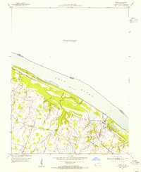
1954 Map of Joppa
USGS Topo · Published 1955About this map
The Ohio River dominates this landscape along the border of Illinois and Kentucky, where the Shawnee Steam Plant (TVA) stands as a major industrial landmark near the riverbanks. The interior terrain is defined by a dense network of waterways, including Metropolis Lake, Crutcher Slough, and Nasty Creek, reflecting the low-lying, riparian nature of this valley. The small settlement of Rossington and the New Liberty Ch serve as local focal points amidst a landscape of family-named landmarks and rural infrastructure. Genealogists will find significant value in the placement of the Brewer Cem, Martin Cem, and Hopper Cem. The presence of the Illinois Central railroad and the Commodity Credit Corporation facility highlights the intersection of transportation and agricultural management in this mid-century river corridor.
Find a feature on this map
25 named features on this map. Tap any name to fly to it.
Don’t see what you’re looking for? This feature index may not catch every label — zoom into the map to look around manually.
Map Details
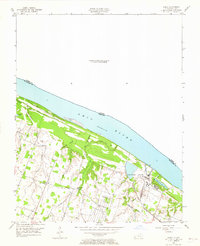
Editions of this 1954 Joppa Map
2 editions found
Other maps of this area

1917 · Brownfield
USGS Topo · 1:62,500

1918 · Vienna
USGS Topo · 1:62,500

1919 · Vienna
USGS Topo · 1:62,500

1926 · Paducah
USGS Topo · 1:62,500

1928 · La Center
USGS Topo · 1:62,500

1929 · Paducah
USGS Topo · 1:62,500

1932 · La Center
USGS Topo · 1:62,500

1940 · Paducah
USGS Topo · 1:62,500

1942 · Vienna
USGS Topo · 1:62,500

1949 · Paducah
USGS Topo · 1:250,000