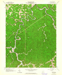
1962 Map of Julian
USGS Topo · Published 1964About this map
The winding loops of the Little Coal River and Big Coal River carve through the heavily wooded terrain of Boone and Lincoln Counties, defining the transportation and settlement patterns of the early 1960s. The Chesapeake and Ohio railroad follows the tight river bends, serving as a vital link for the local coal and gas industries, evidenced by numerous Gas Wells and a Mine near Emmons. Small communities and family landmarks are scattered throughout the hollows, such as McCorkle and Ridgeview, where local life centered around institutions like the McCorkle School and Ridgeview Church.
Find a feature on this map
65 named features on this map. Tap any name to fly to it.
Don’t see what you’re looking for? This feature index may not catch every label — zoom into the map to look around manually.
Map Details
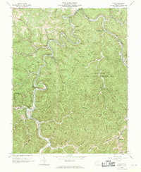
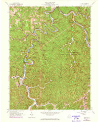
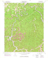
Editions of this 1962 Julian Map
4 editions found
Other maps of this area

1899 · Charleston
USGS Topo · 1:125,000

1909 · Charleston
USGS Topo · 1:62,500

1909 · Peytona
USGS Topo · 1:48,000

1909 · Saint Albans
USGS Topo · 1:62,500

1911 · Peytona
USGS Topo · 1:62,500

1911 · Madison
USGS Topo · 1:62,500

1929 · Madison
USGS Topo · 1:62,500

1929 · Peytona
USGS Topo · 1:62,500

1931 · Madison
USGS Topo · 1:62,500

1931 · Saint Albans
USGS Topo · 1:62,500